The Hertfordshire Chain Walk is a series of 15 linked circular walks (hence ‘chain’) through Hertfordshire with a total distance of 140km (87miles). This first walk in the series is 12km (7.5miles) long and passes Crews Hill station, making that the most obvious start/end for this walk. Approximately half of the route actually goes through the London Borough of Enfield and the other half (on the other side of the M25) passes through Hertfordshire’s Borough of Broxbourne. This route passes through the woodlands of Whitewebbs Wood, along agricultural fields, passing farms, and stables. The route is not waymarked and can get quite muddy and overgrown in several sections.
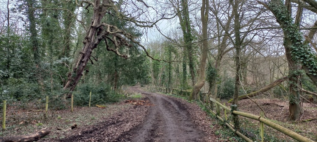


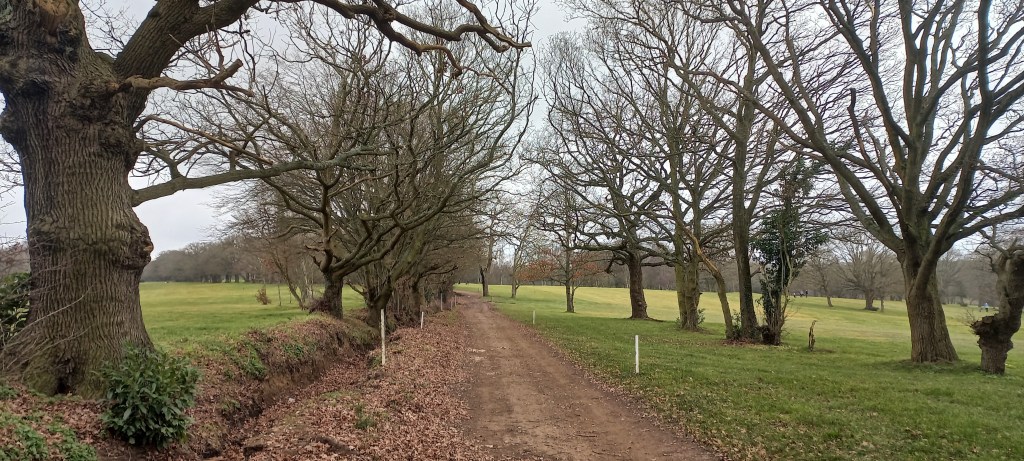

I walked this first section of the Hertfordshire Chain Walk in counter-clockwise direction, starting along a footpath crossing a golfclub. The highlight on this route is Whitewebbs Wood, the only place along this walk where there are benches to take a break, have coffee, or eat lunch. You exit Whitewebbs Wood through the carpark of The King & Tinker pub, which was still closed when I passed it but the exterior looks like a great pub for a break. This would also be the only pub to stop for a break along the walk as the next pub is at the very end of the walk near the train station.
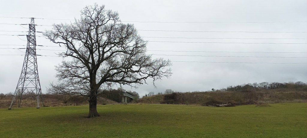
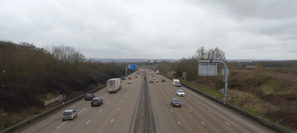
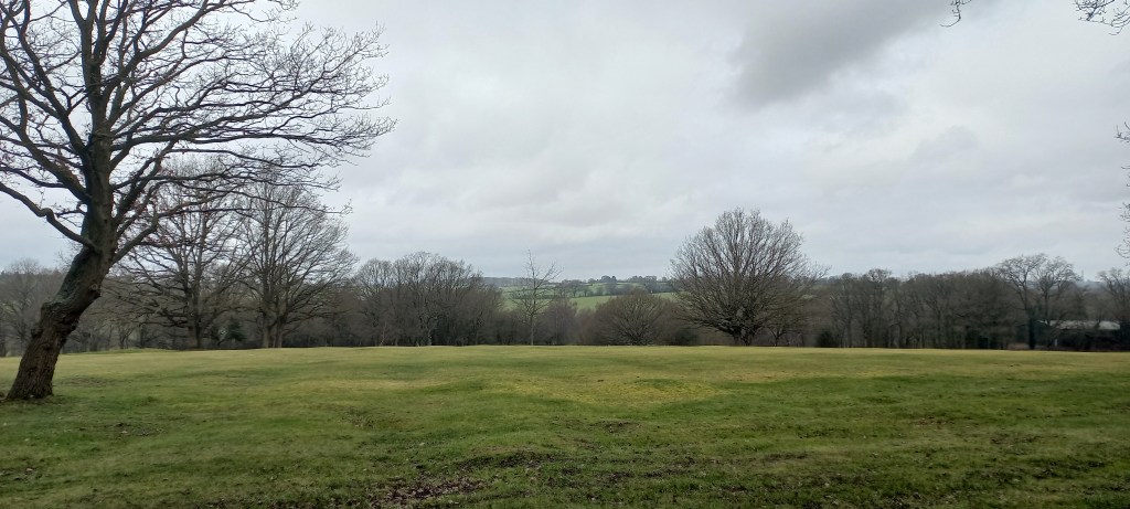
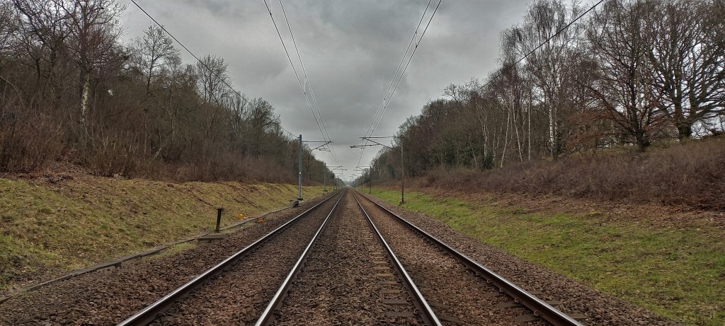
The rest of the walk is more rural, passing farms, pastures, agricultural land, and stables. Soon you have to go up steps of a footbridge to cross the M25 and enter Hertfordshire. There are more woodlands here than I expected, but as this is all private land you more often walk around the woods rather than through it, unfortunately.
Once you once again cross the M25, this time underneath, the gardencentres and petshops of Crews Hill indicate you have almost completed the whole 12km of this walk. There is a pub here called The Plough and there are several coffee shops located in or near one of the many gardencentres to celebrate completing this walk before heading back to the trainstation.
Add the map below to your Google Maps account or download the GPX file via OpenStreetMap and let’s get outside!
