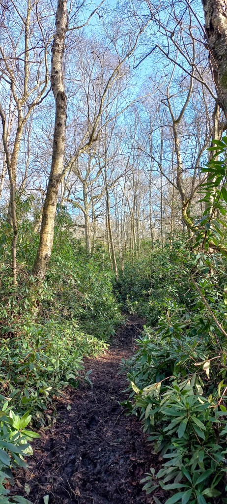
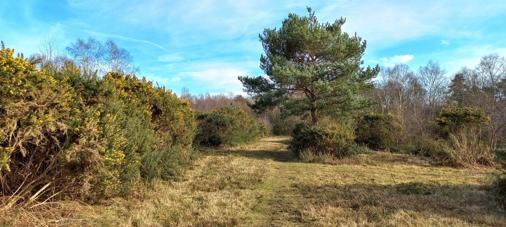
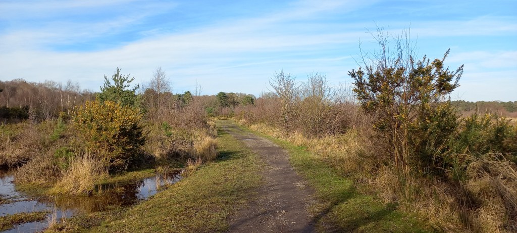
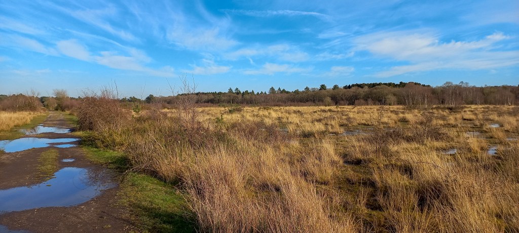
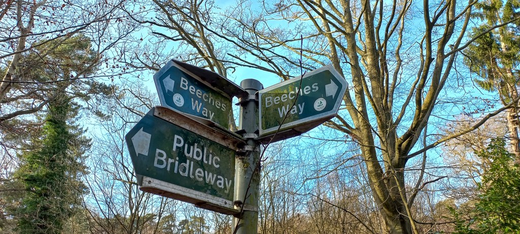
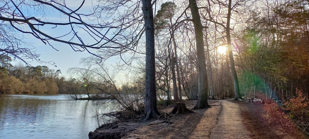
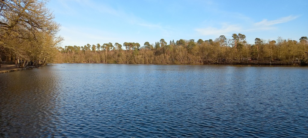
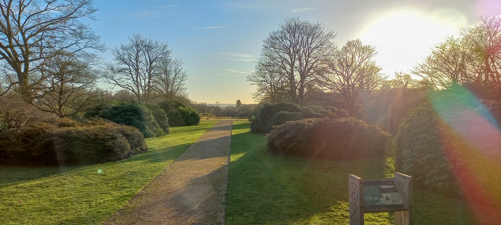
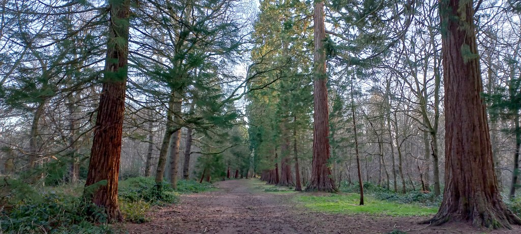
A walk of 27.6 km (17 miles) that starts surprisingly beautiful, crossing several woodlands, pastures, and heathlands. The waymarking for this route is okay, but not very well maintained, so you do need to bring a (digital) map of the route. Also, towards the end of the route (marked with a warning sign on the map below) the original signage remains in place (february 2022) while a footbridge has been removed and thus results in a dead end. Instead, you need to keep following the main road and cross the Grand Union Canal, after which you can take up the footpath along the Grand Union Canal branch. There are several cosy pubs and picknick areas along the route for some well-deserved breaks.


Add the map below to your Google Maps account (click on the star) or download the GPX file via OpenStreetMaps and let’s get outside!
