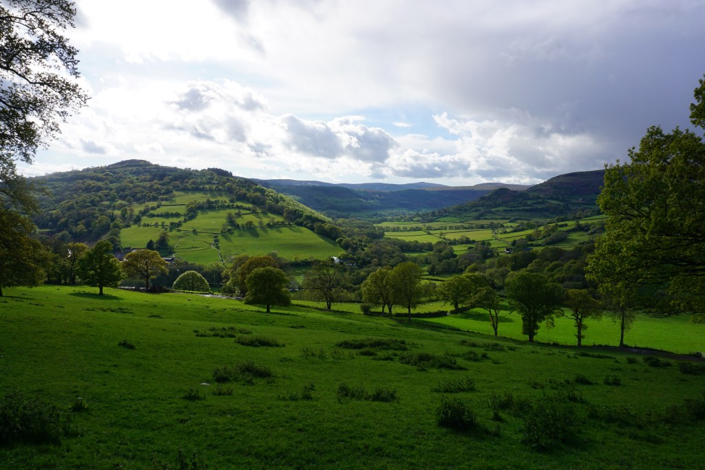
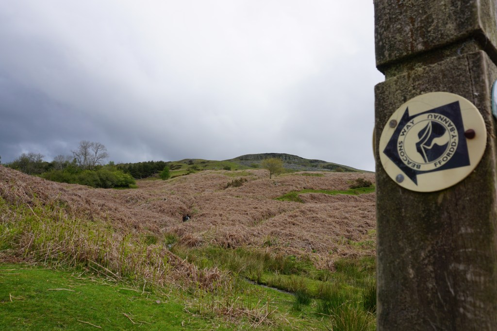
The Beacons Way is a challenging 159 km linear trail through the Brecon Beacons National Park, which can be walked in about eight days. The Becons Way starts in the east in Abergavanny and finishing west in Llangadog. The trail takes you through the most beautiful parts of the Brecon Beacons, over high hills, moorlands, and through valleys, offering spectacular views. I had not visited much of the Brecon Beacons before walking this trail and I was in awe with the stunning landscape, wildlife, and views. The trail is waymarked, but not very consistently and in many places the waymarking is no longer visible, so a map (OL13 and OL12) and navigation skills are definitely a must for this trail.
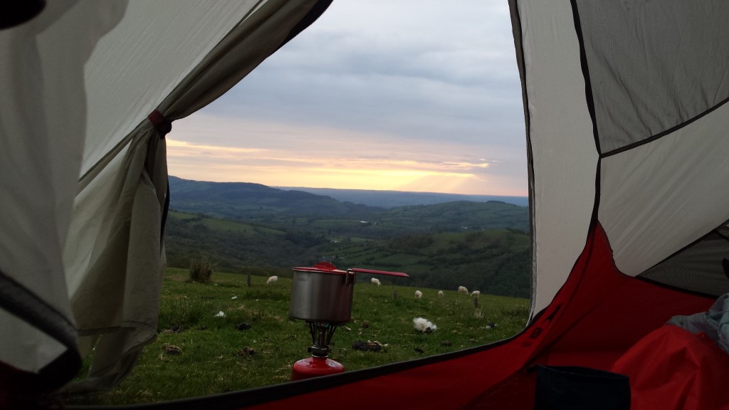
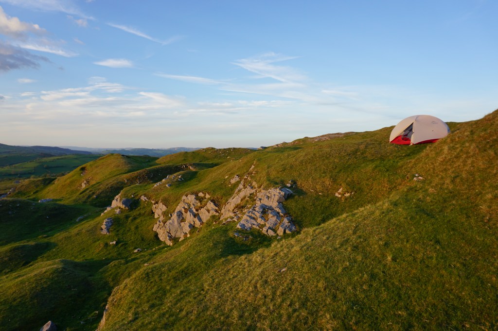
This trail is not very popular or busy and except for the two days when I climbed Pen y Fan and walked above the glacial lakes of Llyn y Fan Fach and Llyn y Fan Fawr, I rarely encountered any other hikers. I walked this trail between 24th of May 2021 and 31st May 2021 and was very lucky with good weather, having only drizzling rain for a couple of hours on three of the eight days. There are campsites along the way, especially if you are willing to walk a little extra to reach them, but wildcamping is also easy here as most of the trail is within the National Park and remote. The blue stars on the map below represent the campsites I stayed at while the red stars are my wildcamp locations.


Although the official trail is 159 km, I walked 186 km from start to finish as the official start is located about 4.5 km outside of Abergavanny and the official finish is in Bethlehem, 5 km before Llangadog, and some days I walked a little off-trail looking for a campsite. When planning the hike, take into account that public transport from the finish in Llangadog is not very frequent.
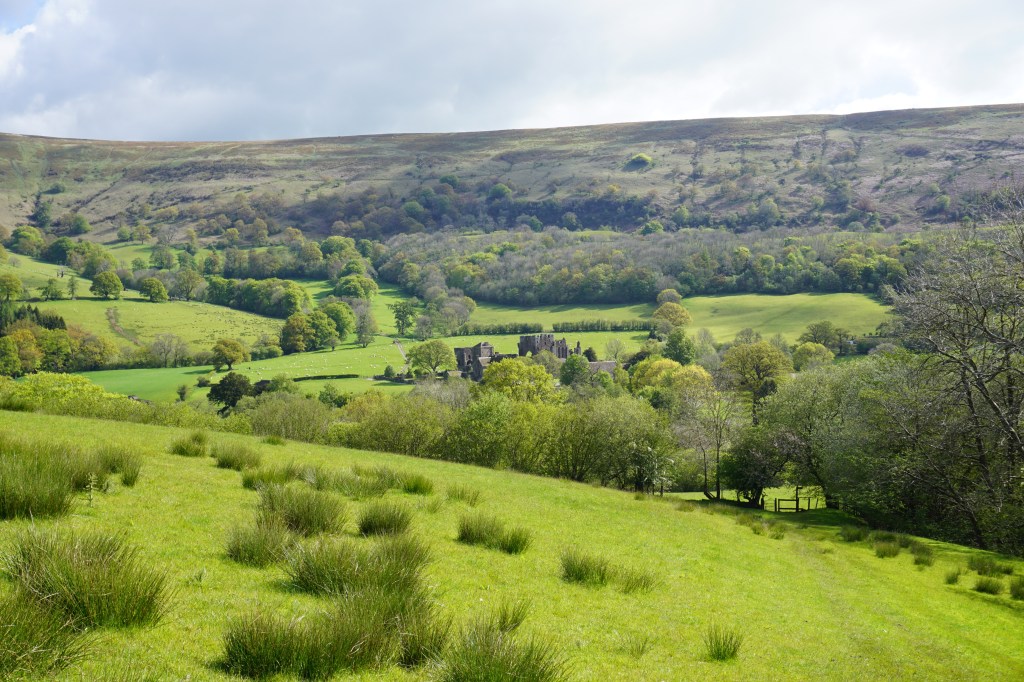
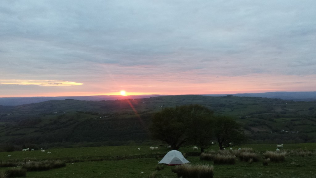
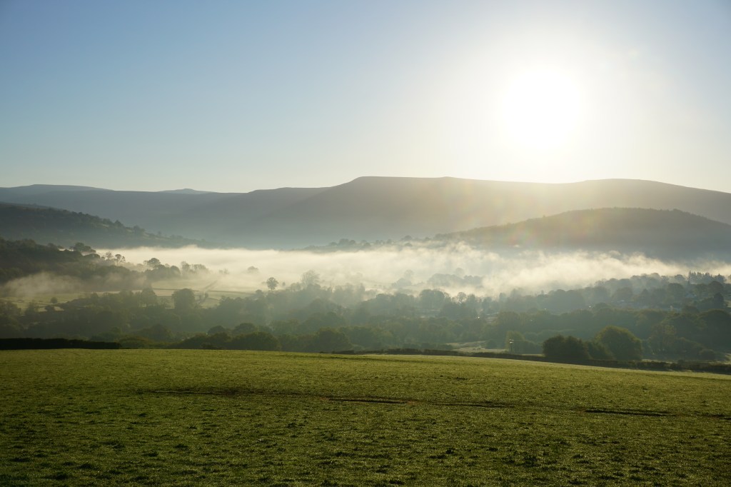
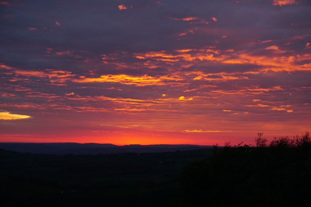
Day 1 (22.4 km) – Abergavanny to Llanthony. There is no sign of an official start until you are well out of Abergavanny. At the bottom of Skirrid Fawr, is a carved wooden bench that signals the official start of the Beacons Way. After the steep climb up to Skirrid Fawr the route takes you down again through wet pastures and over muddy trails. After crossing the valley the trail goes up again into beautiful moorland with free roaming sheep and wild horses. This area is particularly stunning in sunset when the moorlands glow almost red gold. The day finishes near the magnificent ruins of Llanthony Priory where a simple campsite is located.
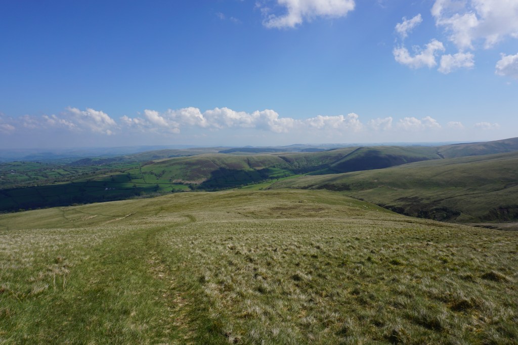
Day 2 (25.5 km) – Llanthony to Crickhowell. From the campsite the route follows a river and quickly starts toclimb to reach the 520m top. A gentle descent into a valley leads to a river and a narrow wooden footbridge to cross the river next to a farm. Ahead is again a climb to 550m to reach beautiful moorlands with wild horses and sheep. At the other side of the moorlands you are treated with wide views over the valley and the mountains on the other side of the valley. Down in this valley the Beacons Way is diverted through the village of Llanbedr because a footbridge was washed away. On the other side of the village a roadwalk leads back to the Beacons Way and immediately starts with a climb to reach Table Mountain. The trail down can be very muddy and slippery but follows the Cumbeth Brook and passes through beautiful woods and meadows. Eventually the trail enters the town of Crickhowell with a campsite. I found this day the hardest of all the days on the Beacons Way.
Day 3 (23 km) – Crickhowell to Llangynidr. Starting at the campsite in Crickhowell, the trail goes back up to the moorlands of the national park, but instead of going to the top the route follows the national park boundary and thus stays more or less at one height, making it a pleasant walk. Back in another valley you cross the small village of Cwmdu and after a roadwalk the trail goes back up into moorland with again many wild horses. The trail passes through two more villages, Bwlch and Llangynidr, before the day’s walk is finished. There are no campsites in this area, so I made camp just outside of Llangynidr on pastureland (with permission from the farmer).
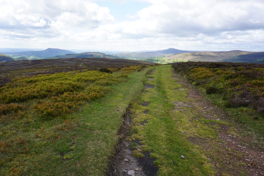
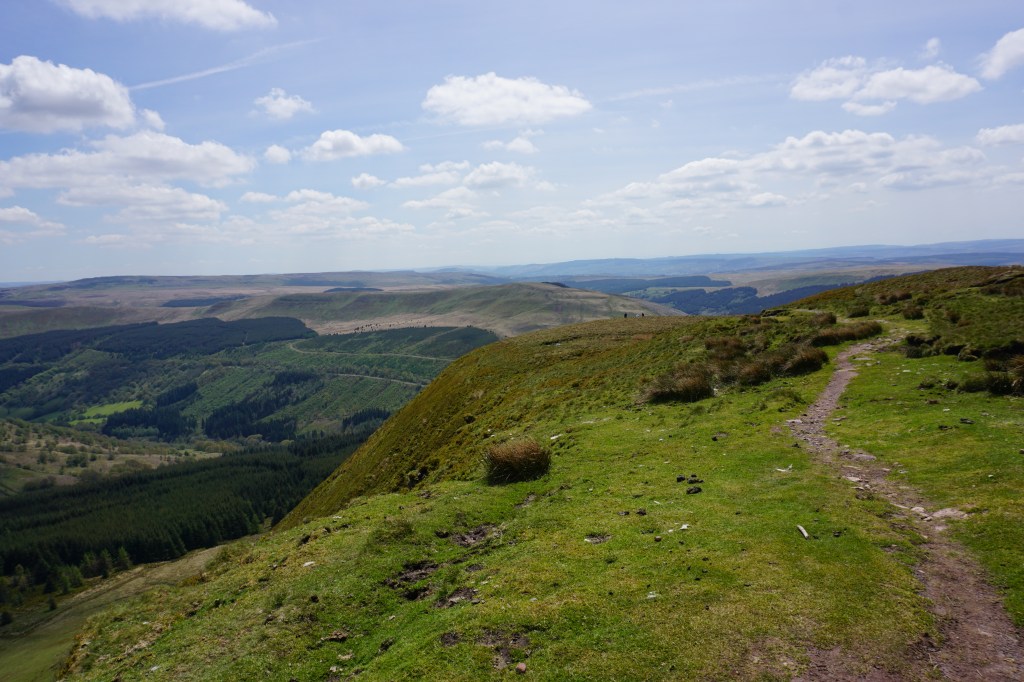
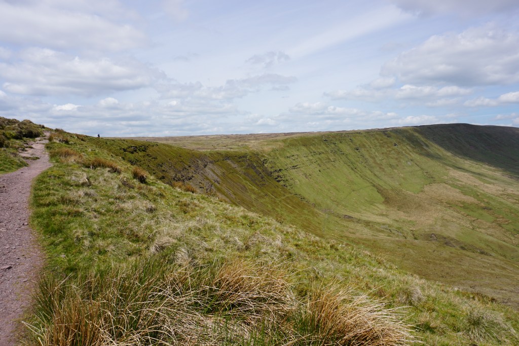
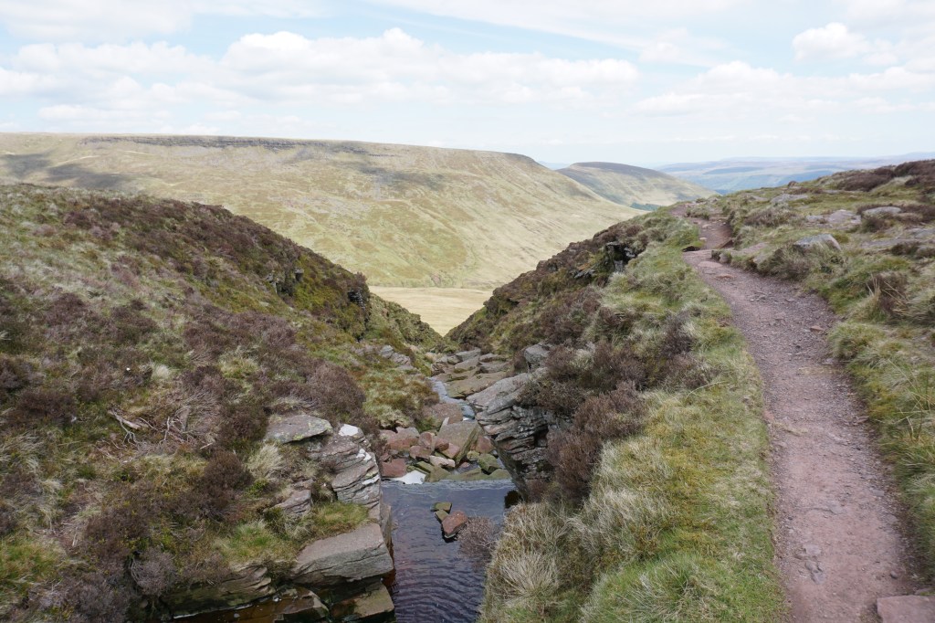
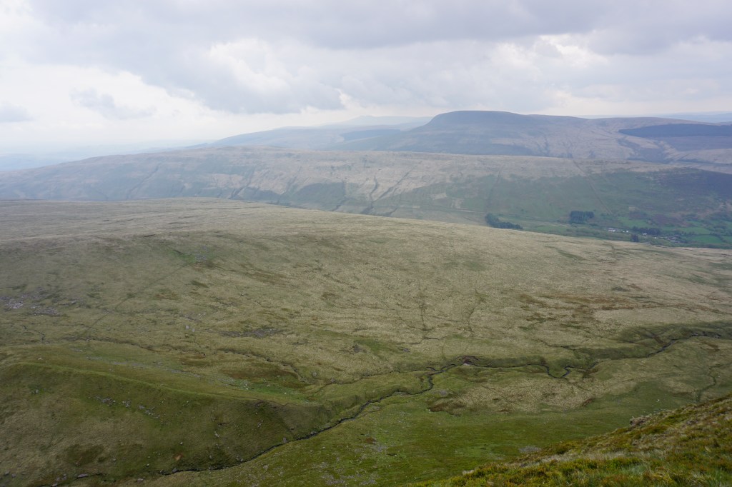
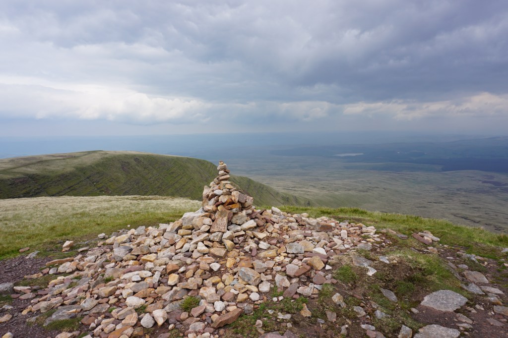
Day 4 (26 km) – Llangynidr to Llwyn-y-Celyn. The sunrise this morning was amazing with fog lingering in the valley just below and clear blue skies above. A long ascending path through farmland reaches a ridge above the Talybont Reservoir with stones laid out for a perfect picknick/breakfast spot with views over the reservoir and the surrounding woodlands. The route than follows a broad trail around the reservoir to reach a public parking area. From here a steep trail goes up to 683m of Graig y Fan Ddu with beautiful views over the rugged mountainside. The route crosses the moorlands without the presence of a clear path to reach the other side, Graig Cwmoergwm, with again stunning views and spectacular mountainsides and steep drops down. From here the trail gets more popular with day hikers as you hike to the tops of Fan y Big (719m), Pen y Fan (886m), and Corn Du (873m) before following a broad track down to a large public parking area. Again there are no campsites around here, so I walked down along the Taff Trail to find a nice wildcamp spot next to a river.
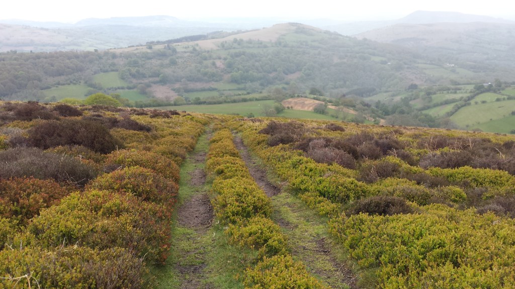
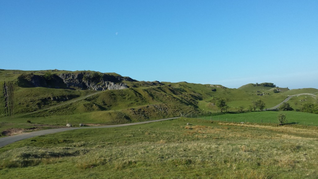
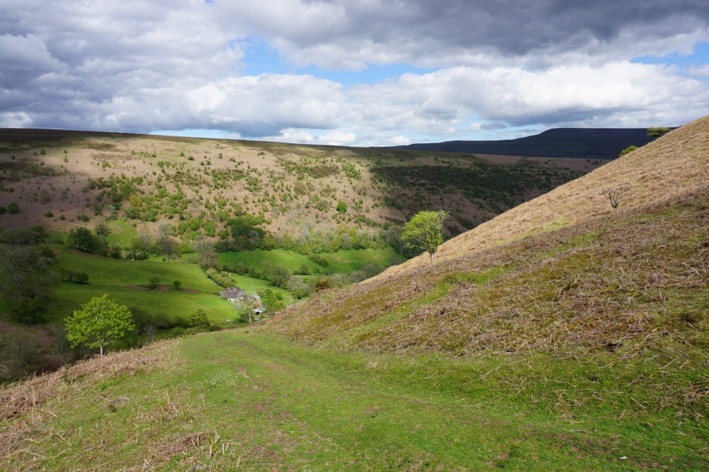
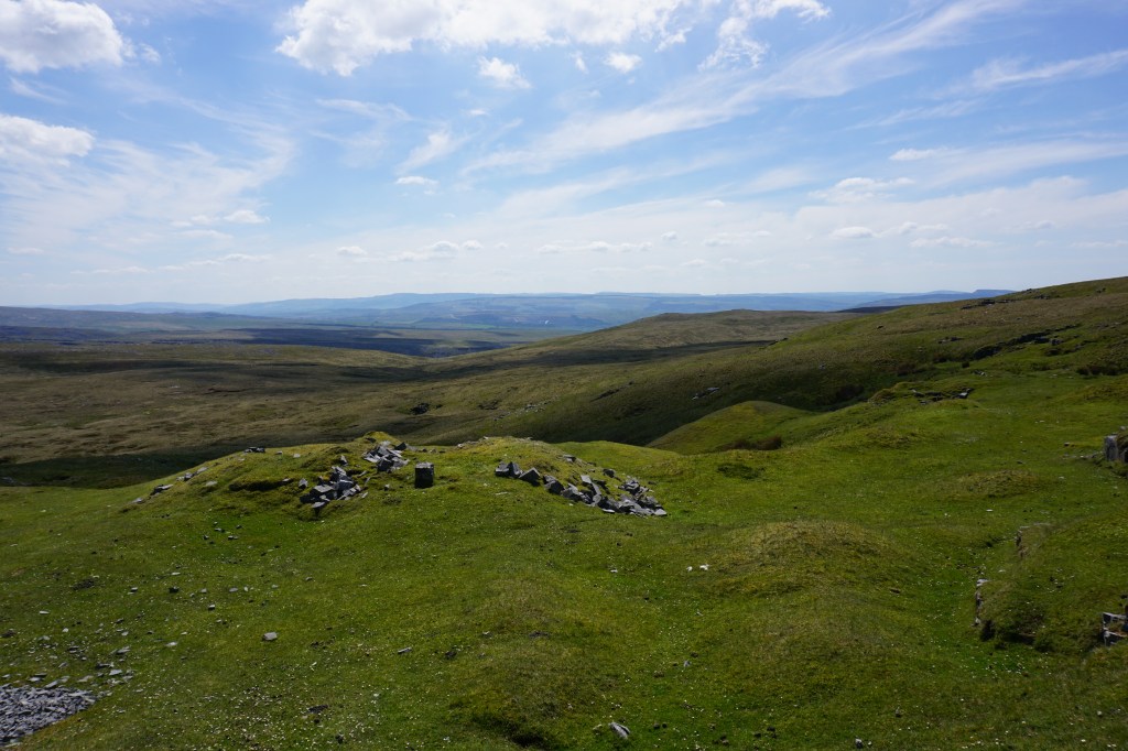
Day 5 (29.1 km) – Llwyn-y-Celyn to Tafarn-y-Garreg. I started the day by walking back up to the parking area. From here the trail crosses the road to go up Graig y Fro and Fforest Fawr with a highest point of 633m. A long hike over incredible moorland follows with barely any other hikers around and only sheep for company. On these moorlands there is not always a clear path, so frequently take bearings, especially if visibility is restricted. The final top on this section of the trail is Fan Llia, and a boggy trail leads down to another public parking area. The next section of the trail is entirely different in landscape and feels a bit eery due to the many rocks, Pot Holes, Swallow Holes, and Shake Holes. Eventually you reach an old quarry in an area that feels abandoned. Not long after passing Graig-y-nos Country Park you reach a small village. I had planned to wildcamp around here, but when visiting a pub here the owner said he runs a small and bery basic campsite at the opposite of the road, so I decided to stay there.
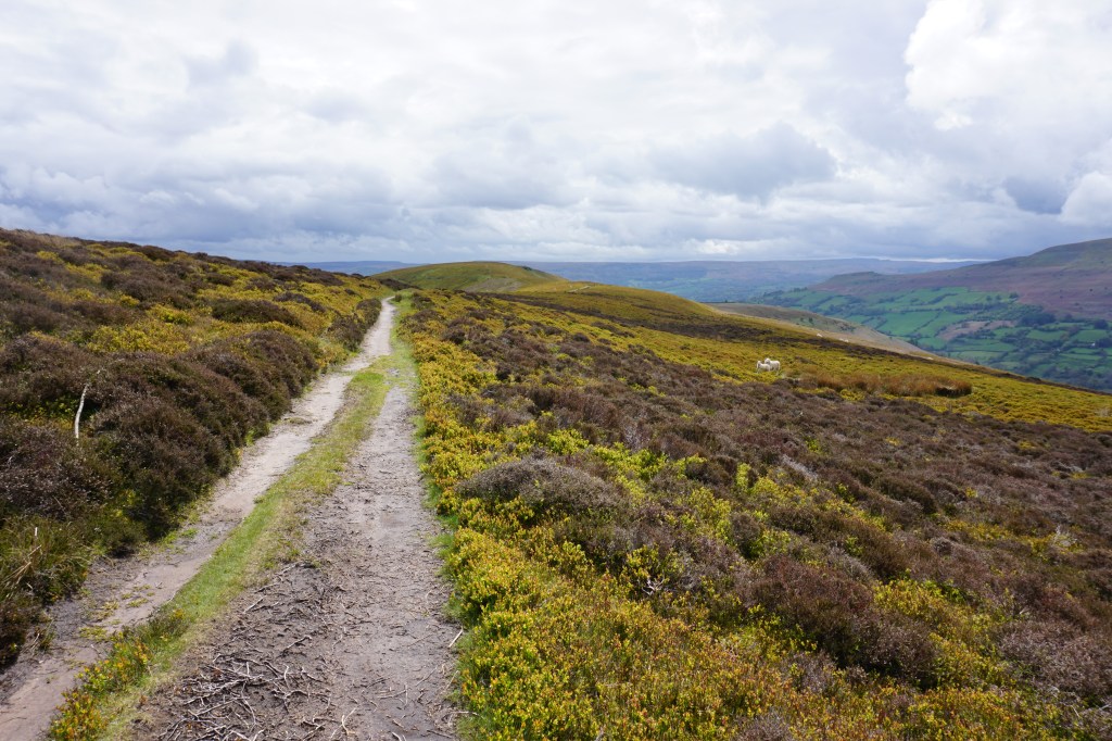
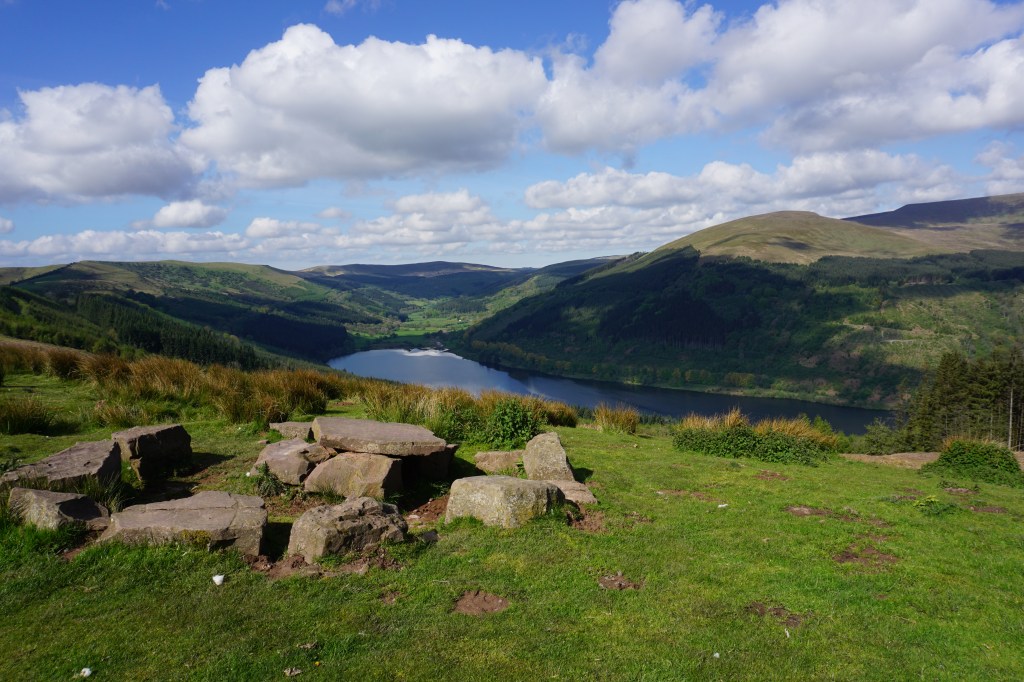
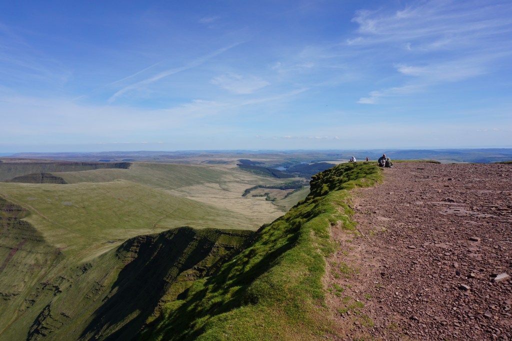
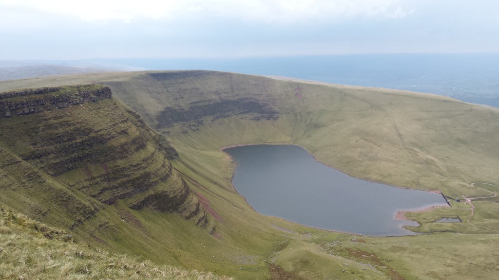
Day 6 (18.6 km) – Tafarn-y-Garreg to Llanddeusant. From the campsite at Tafarn-y-Garreg the tril immediately starts with a steep climb to the ridge of Fan Hir. Soon after you get beautiful views over the glacial lake of Llyn y Fan Fawr while you continue to climb to 802m. Here again the trail gets more populated with day hikers, as this is one of the most stunning areas of the Brecon Beacons. The route continues to follos edges with steep drops. After Picws Du the second glacial lake, Llyn y Fan Fach, comes into view and is even more spectacular than the first. The Beacons way goes along two sides of the edge high above the lake before turning away from the lake towards the valley. Some road walks and tracks through farmland follow before re-entering the national park. I made camp just inside the borders of the national park with views over rolling farmland.
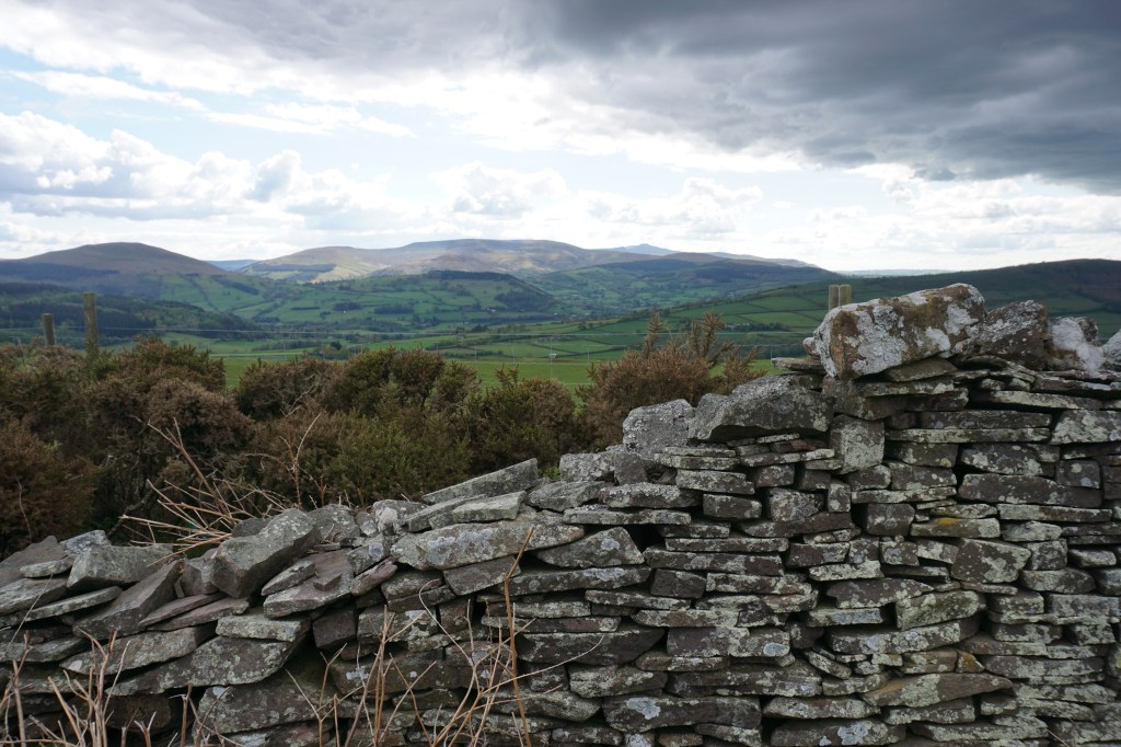
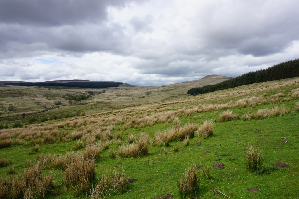
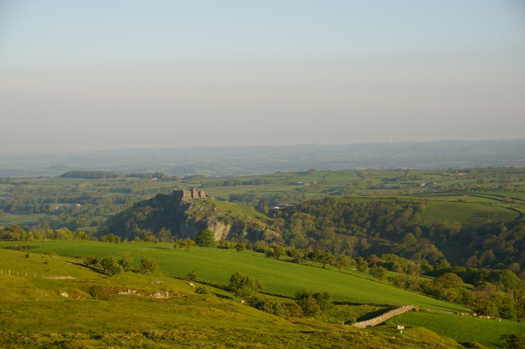
Day 7 (18 km) – Llanddeusant to Garreg Las. This section is the most challenging in terms of navigation, as large sections over the hills and moorland do not have any footpaths. The trail crosses Garreg Las and then goes up to Foel Fraith. Then, instead of following the mountain ridge, the Beacons Way takes a lower route towards a stream, Afon Clydach, before going up to an old quarry. With an ice-cream truck at the northen parking area. After crossing the road, the route goes up over moorland, again without clear footpaths, to reach another small parking area and a short road walk before once more going into the moorlands. This is the final section of the Beacons Way within the boundaries of the Brecon Beacons National Park and just before the trail leaves the park I made my camp in pretty landscape overlooking the ruined Carreg Cennen Castle.
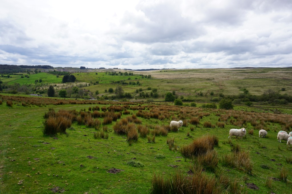
Day 8 (23.4 km) – Garreg Las to Llangadog. The final day of the Beacons Way is the least interesting day as you have left the national park. The route passes Carreg Cennen Castle, which unfortunately is not free to visit and in my opinion not worth the ticket price. There are still some pretty wooded areas to cross, but much of the walk is through farmland and there is more radwalking than on any of the other days. The route goes over Carn Goch where remains of the walls of early settlements are visible. The route officially finishes in Bethlehem, signposted by another wooden carved bench on a corner in the village, but then you still have to make your way to Llangadog through some woods and farmland. As I had booked a train back to London two days later, I stayed at a campsite just north-east of Llangadog.
Overall, this long-distance trail exceeded my expectations and I would without a doubt recommend this hike through the amazing Brecon Beacons. This is a definite 5-star hike, so let’s get outside!
