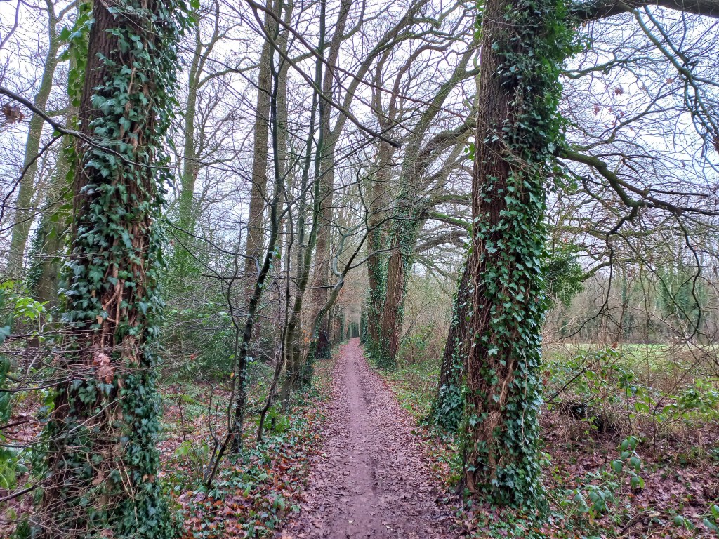
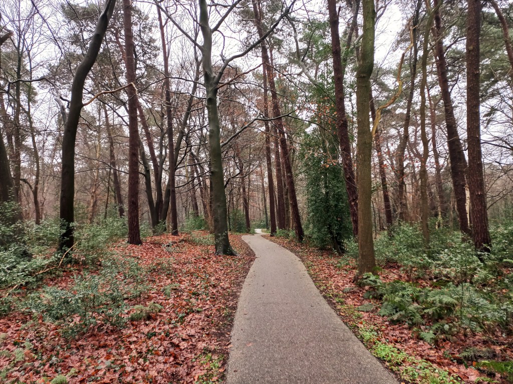
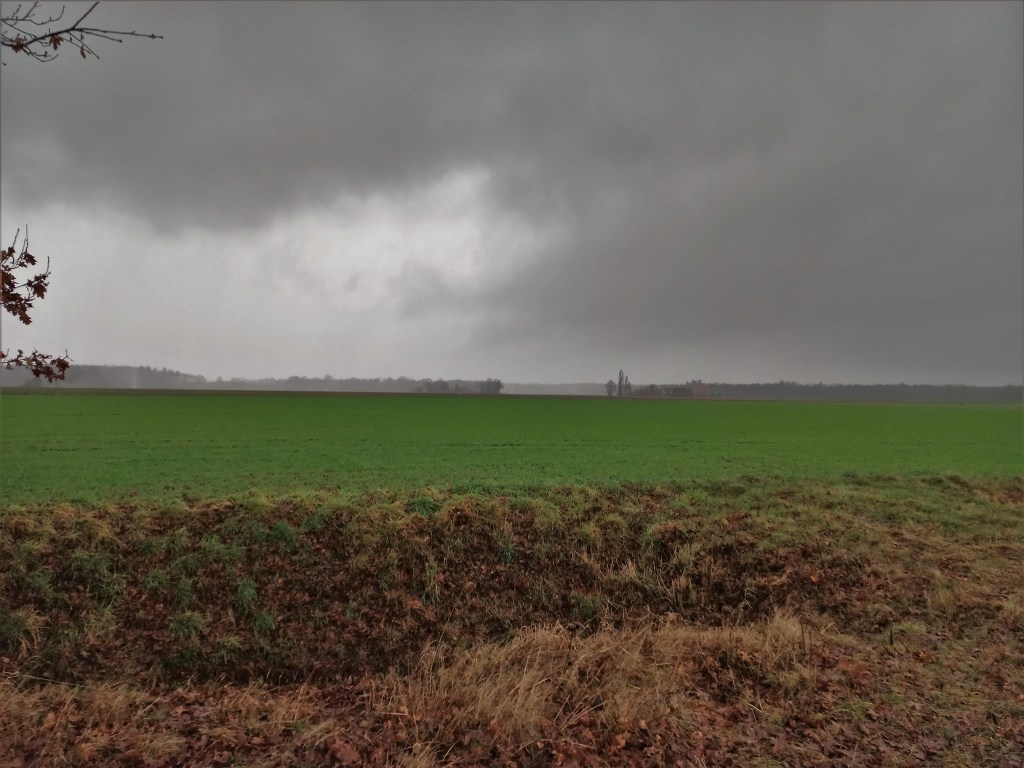
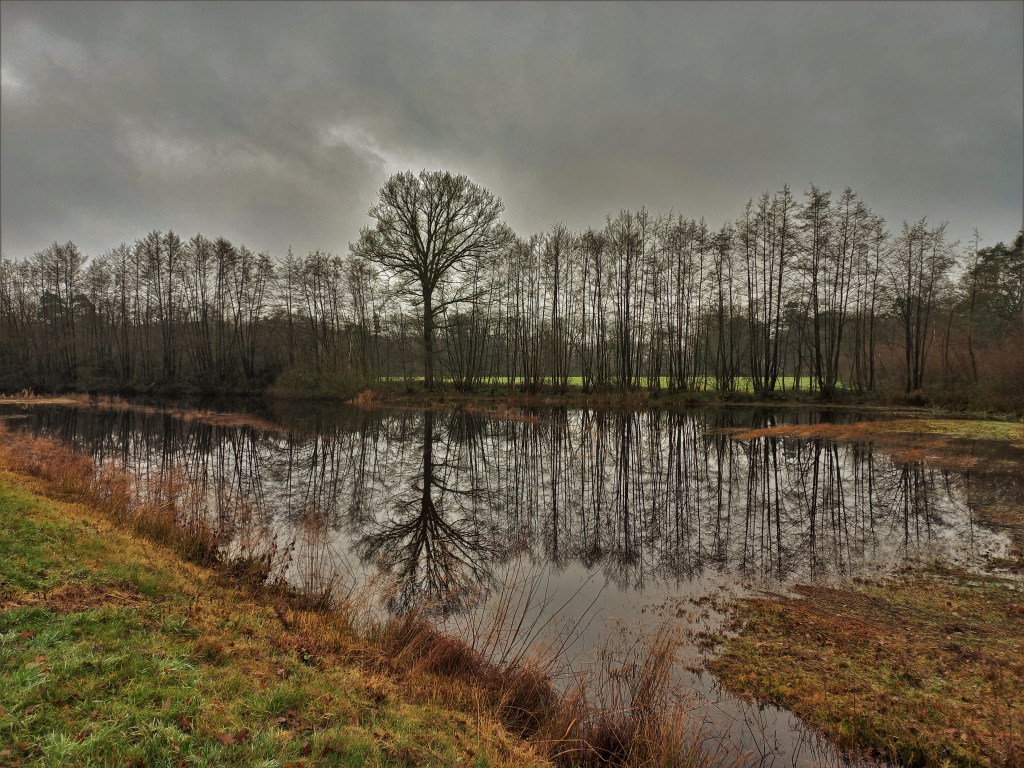
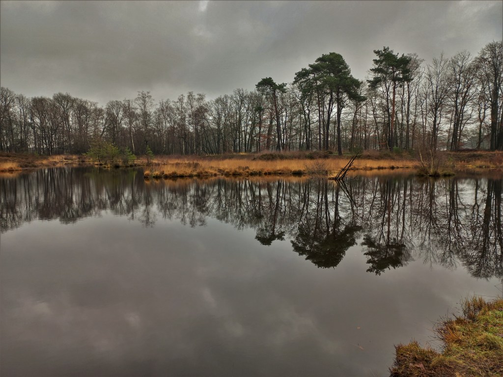
A beautiful circular trail frequently crossing the border between The Netherlands and Germany, starting and finishing in Winterswijk. This 2-day hike (50km) is unmarked, but some sections follow other trails that do have marking. These are indicated in the desciption below and the points A through F in the map below. The route on the first day crosses several small woods and farmland and includes a long section in Germany. The route on the second day is mostly through farmlands, both in The Netherlands and in Germany, and passes a quarry. There are limited options for lunch on both days, so packing lunch is recommended.

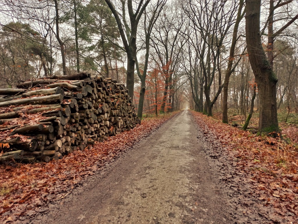
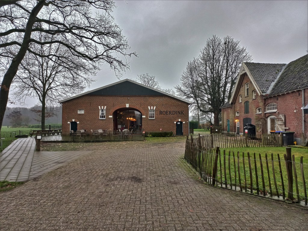
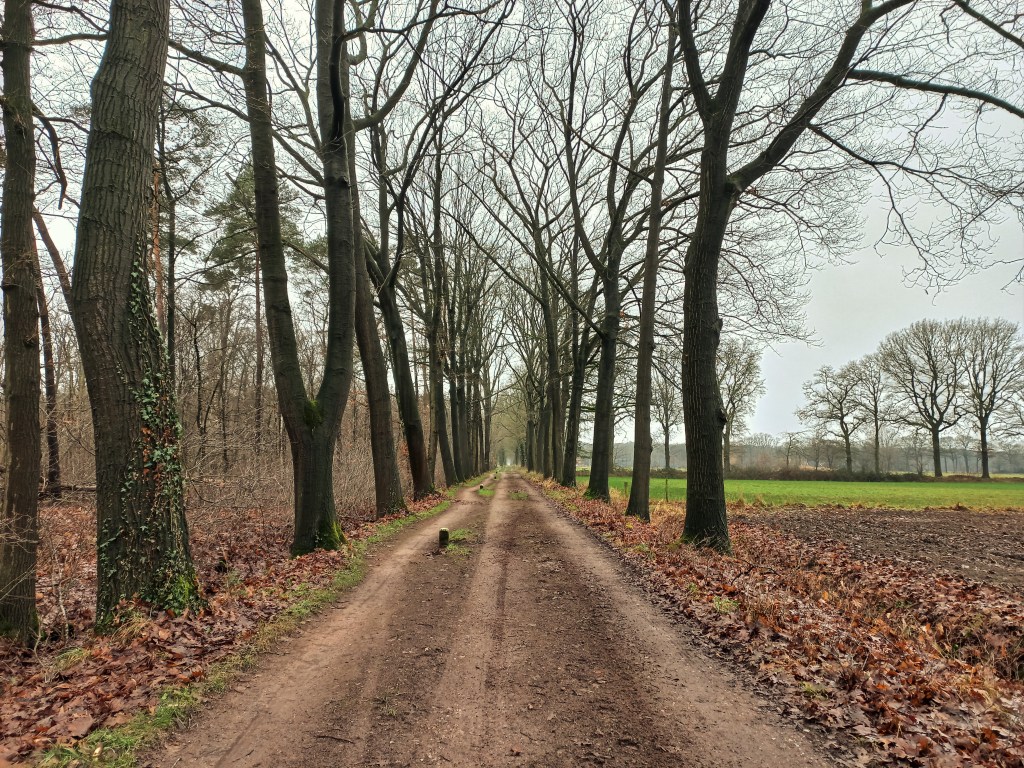
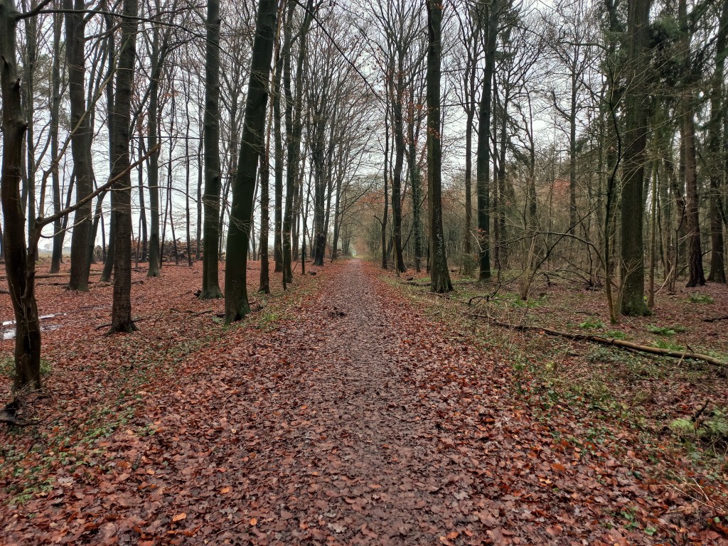
Day 1 – 25km: Starting at Winterswijk trainstation, follow the route and streetsigns towards the city centre. Continue through the high street (Misterstraat) to reach the Markt and turn right into Wooldstraat. Keep ahead for 600m then turn right into the Wooldseweg. Just before the railway crossing turn left onto a tarmac track, continuing ahead below a road and into the countryside. Soon a crossing with a signpost signals the long-distance trail the Noaberpad, which you follow turning right and continue to follow for the next 13.5km. The Noaberpad is clearly waymarked with white/red. You leave the trail at point A, next to the great yellow Schloß Diepenbrock. From here follow a different trail marked by a white X, which is the X8 trail from Bad Bentheim to Bislich. At point B (zum Venn) you leave this trail to cross the border back into The Netherlands. In this are just in The Netherlands is where day 1 ends. There are several accomodation options here, including hotels, B&Bs, and campsites. I stayed at Hotel Restaurant Roerdinkhof (point C on the map) which also has a shared kitchen to prepare your own dinner/breakfast.
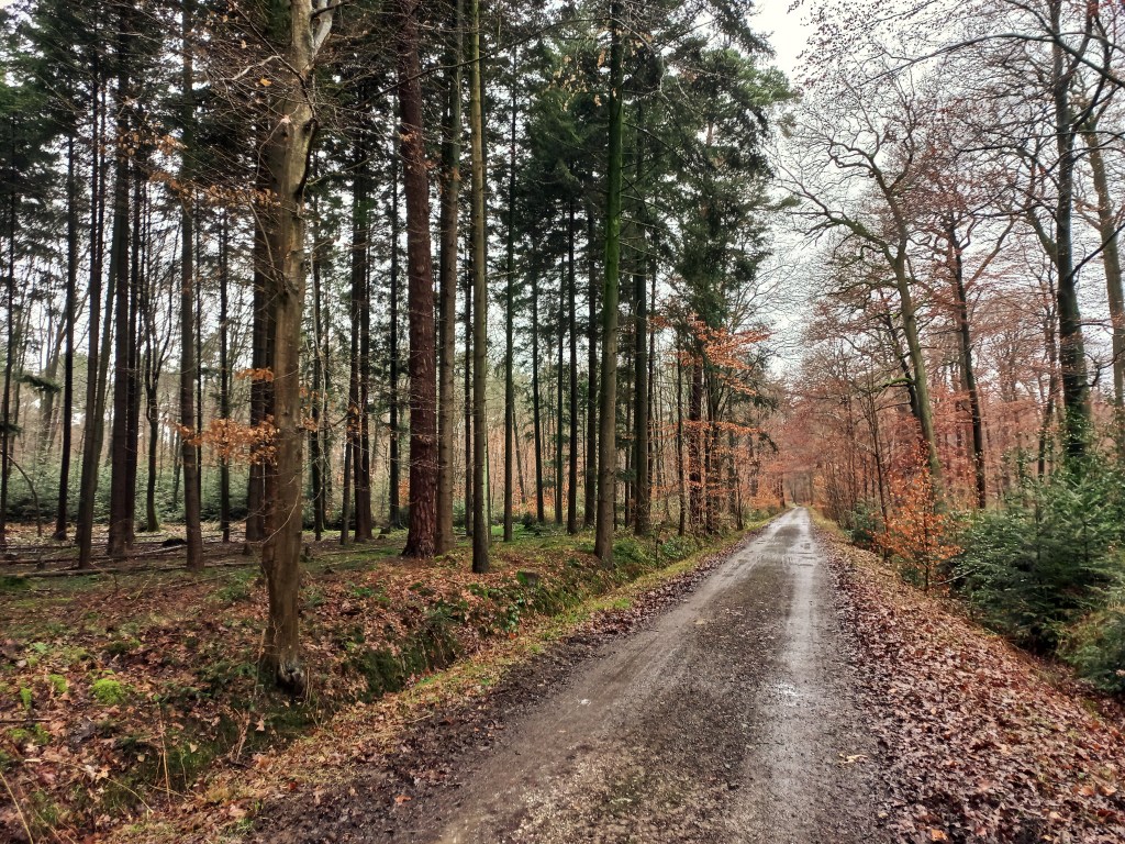
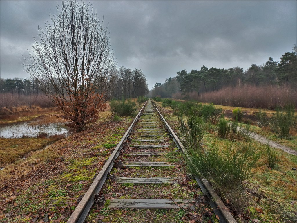
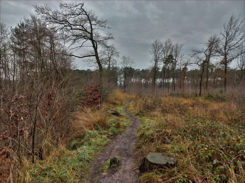
Day 2 – 25km: From your accomodation, make your way back to the route to follow the long Wiggersweg, which becomes an unpaved track, to reach point D, where we again pick up on the white/red marked Noaberpad. Soon you reach a disused railway track which the route follows through a beautiful area and back into Germany. Follow the marker Noaberpad for approximately 11km to reach ppoint E. Follow the map along an unmarked route to reach point F and here you can pick up the waymarking for the Scholtenpad (Yellow/Red). The route passes the quarry and when reaching the Bataafseweg follow the waymarking back into Winterswijk. Just beyond a cycling club you leave the Scholtenpad and follow the map to the trainstation, where this walk finishes.
Add the map below to your Google Maps account (click on the star) or download the GPX file via OpenStreetMap and let’s get outside!
