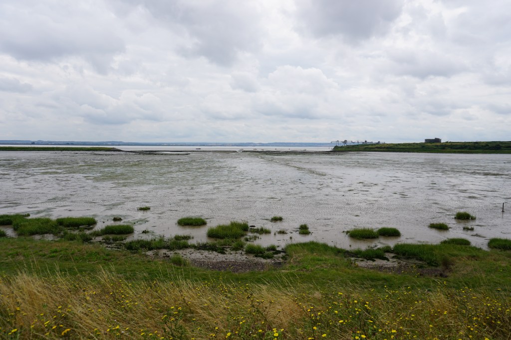
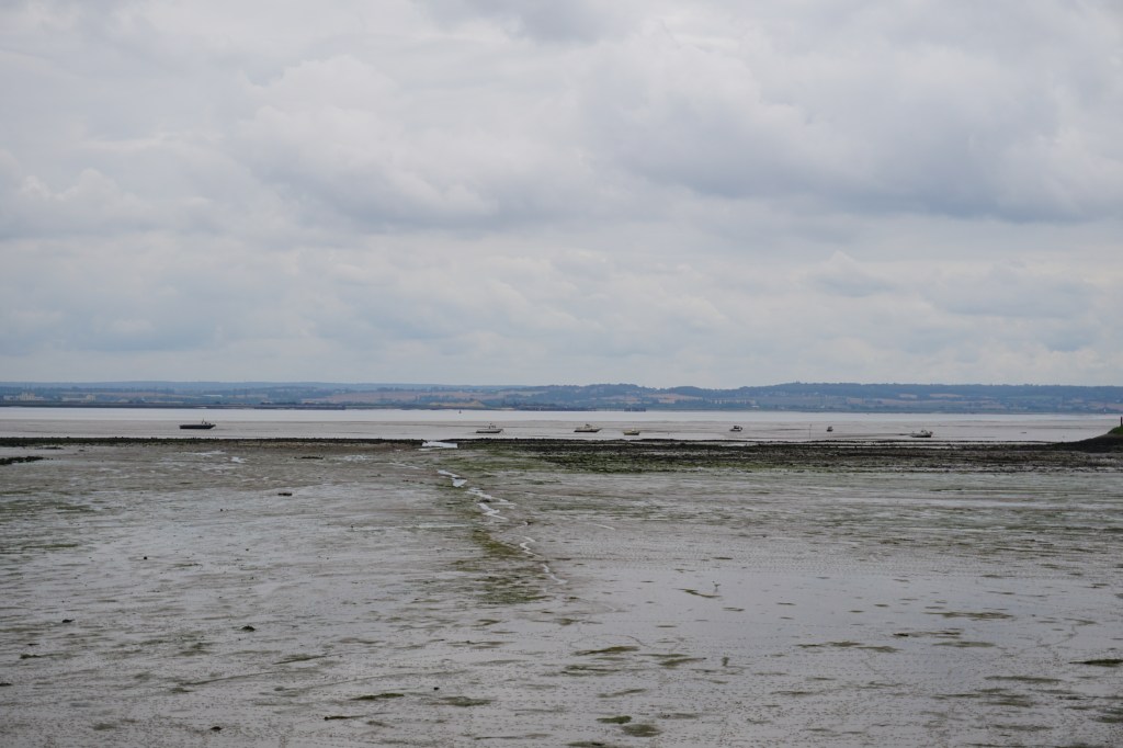
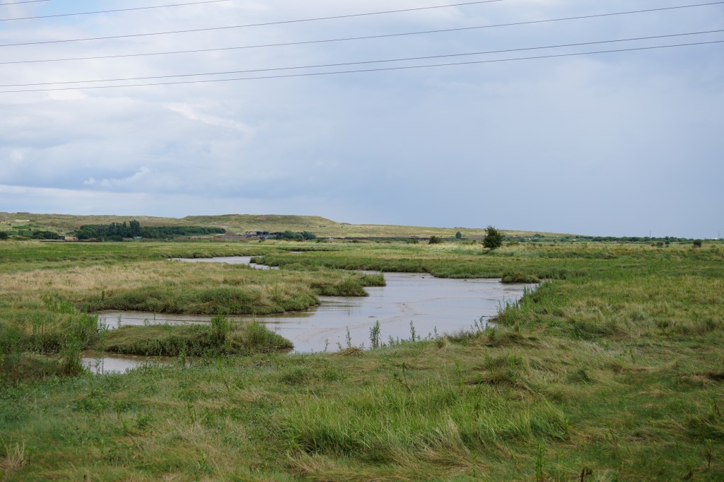
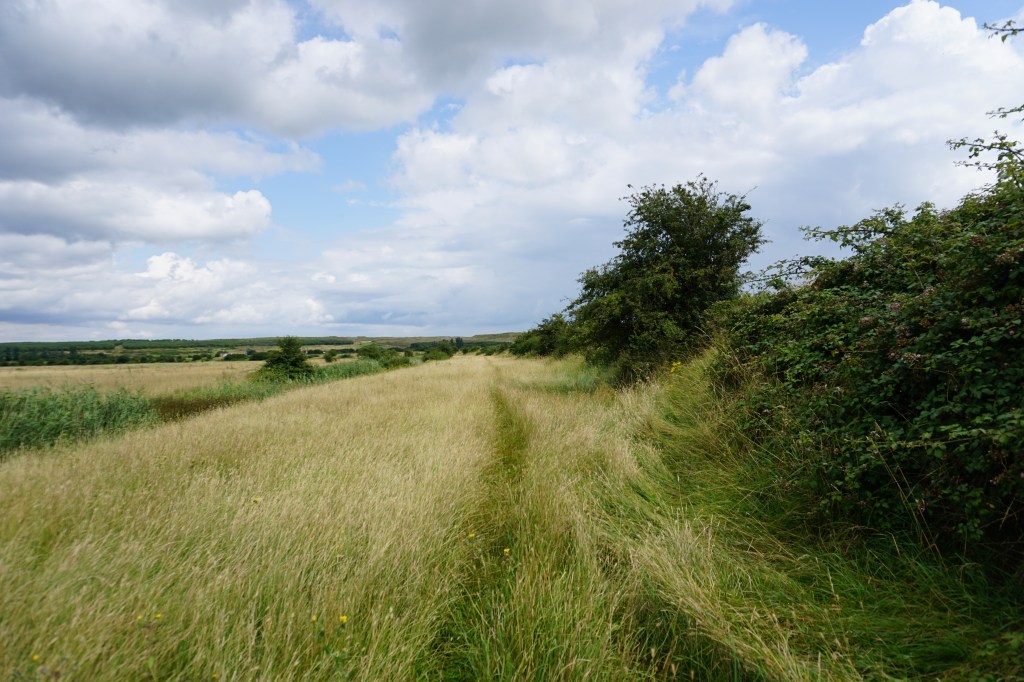
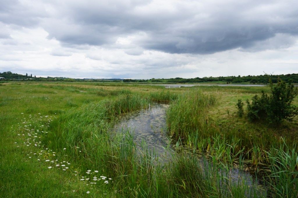
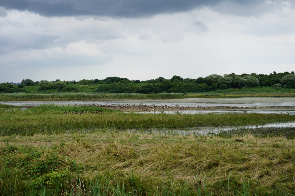
The official Thames Estuary Path is divided into 5 accessible sections, but as sections 2, 4, and 5 are pretty short, I divided the walk into three longer sections. This second section, from Stanford-le-Hope to Pitsea, is an 18 km walk away from the Thames and through wide-open fields, marshes, and nature reserves. The route is waymarked but at times the waymarking was missing or unclear, so carrying a (digital) map of the route is helpful.


Add the map below to your Google Maps account (click on the star), download the GPX file via OpenStreetMaps, or download the route and route description on the official trail website and let’s get outside!
