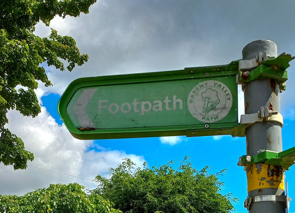
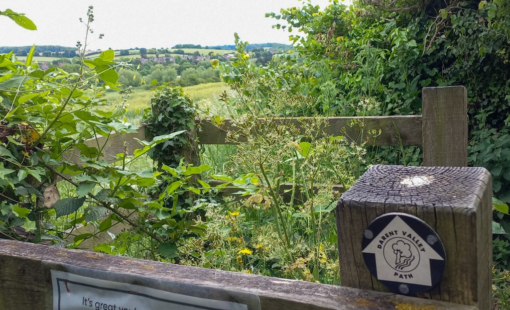
A varied walk full of history through the Darent Valley from Sevenoaks to the Thames. The Darent Valley Path is officially 32 km, but there is no public transport near the finish of the path, where the river Darent flows into the Thames. This means after completing the Path, there is another 5 km to walk along the Thames to reach Stone Crossing Station, making the total lenght of this walk 37 km. There are plenty of pubs and picknick spots along the way to take refreshing breaks during this long walk. The trail is waymarked and very clear to follow, although the signage does change in shape and colour, but the name of the path is always clearly written.
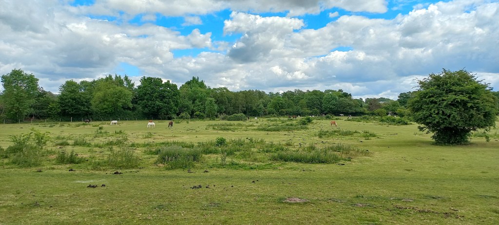
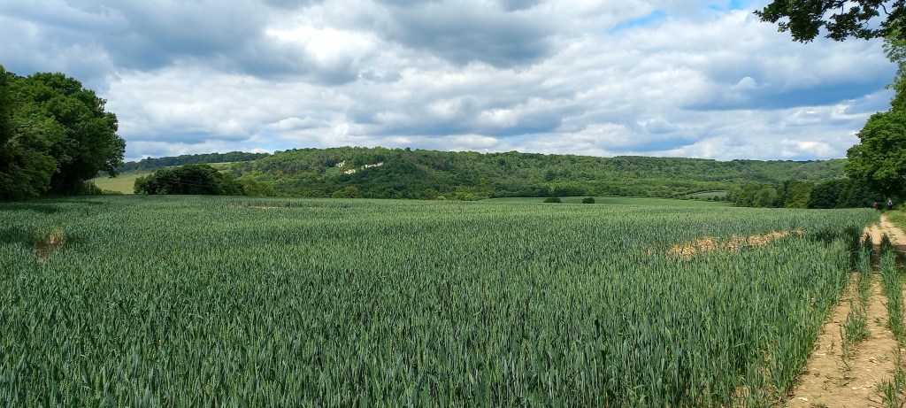
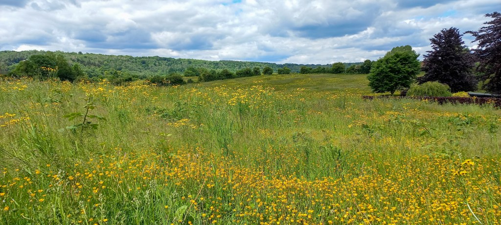
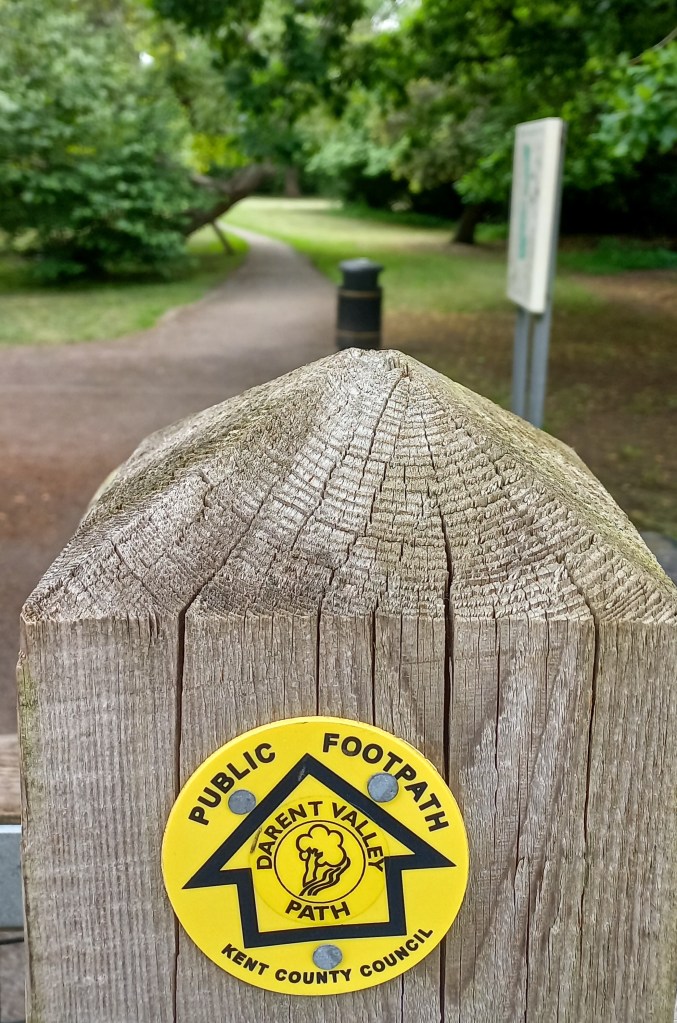
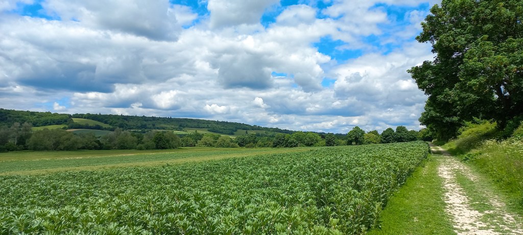
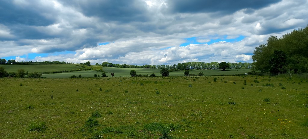
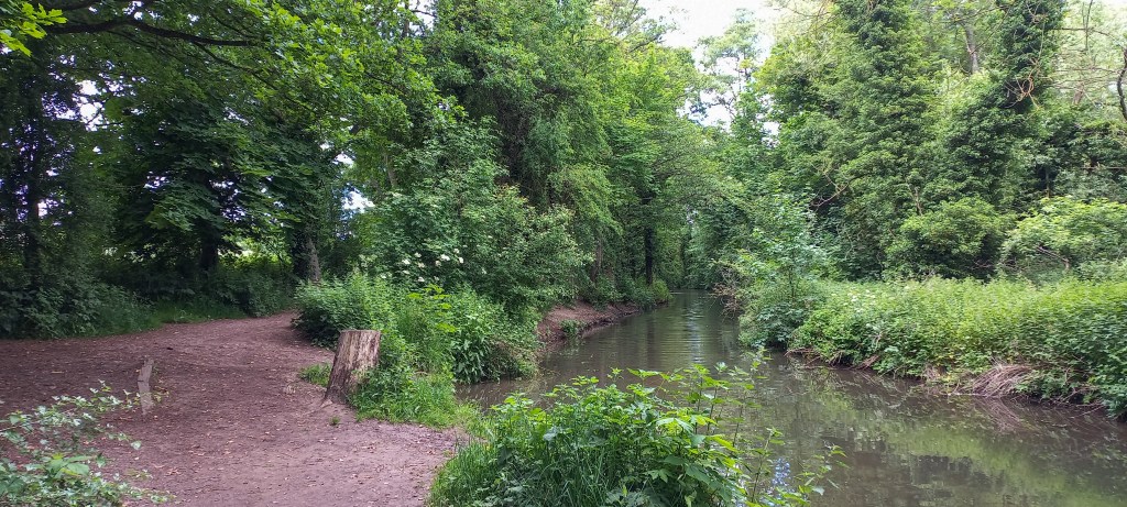


From the train station at Sevenoaks you cross London Road into Hitchen Hatch Lane, where you can already spot the first waymarking of the Darent Valley Path. While making your way out of Sevenoaks, you cross Bradbourne Lakes and after a short walk along the busy Bradbourne Valley Road you reach the beautiful Sevenoaks Wildlife Reserve, which the path unfortunately only passes along its edge. Keep following the waymarking through agricultural fields, every once in a while crossing underneath the railway line or the M26, and between the greens of a golf club.
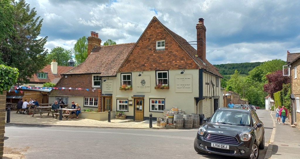
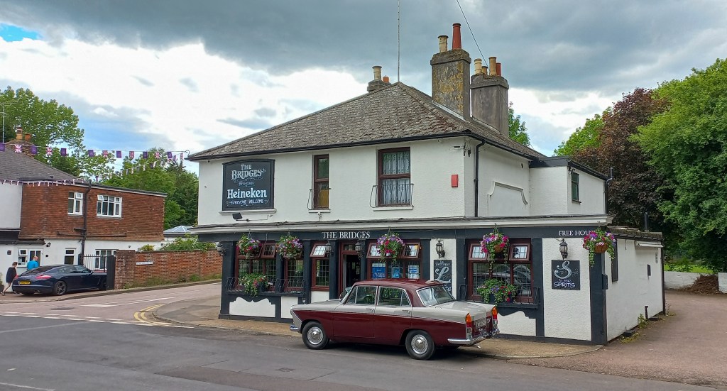
Once you reach Shoreham’s Station Road you will see two alternative signposts for the Darent Valley path. One route takes you through fields around the village, while the other goes through the village following Station Road. I recommend the village route as the village is very pleasant and allows you to take a break at The Samuel Palmer, a really charming 15th century pub with beautiful wooden interior and a small beer garden at the back.
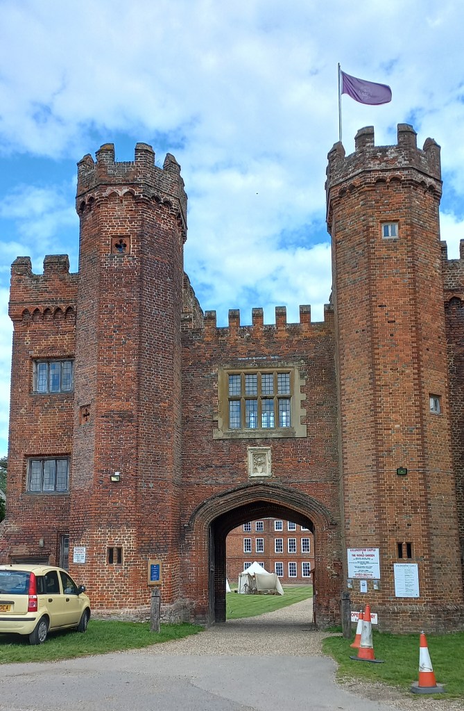
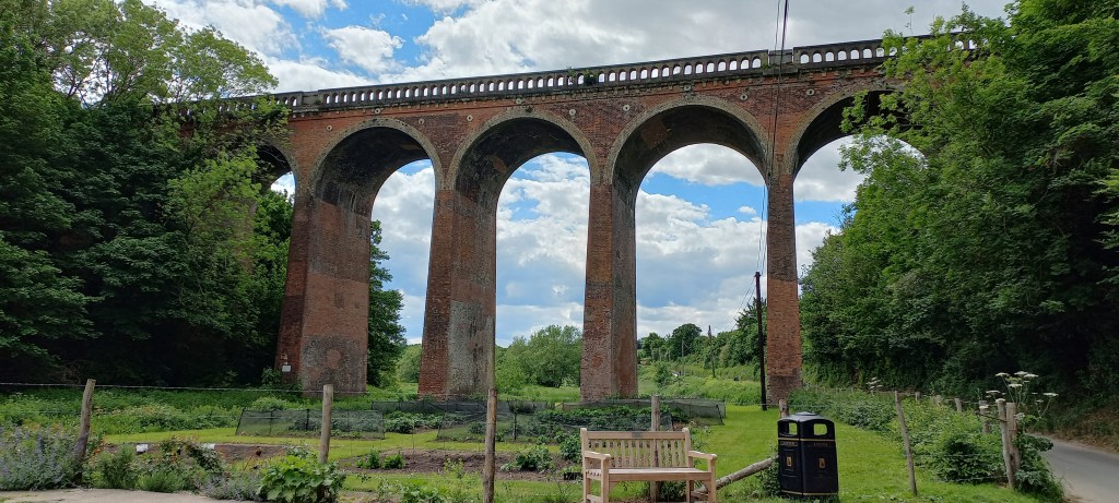
Next, the route takes you through Lullingstone Country Park and past Lullingstone Castle (which is open to the public, but you need to buy a ticket). Just before the Lullingstone Roman Villa the path takes a left, but you could choose to continue straight ahead to pass underneath Eynsford Viaduct, but that means walking along a road for about 1 km until the official route joins the road.
Eventually you reach the village Farningham with the 16th century The Lion Pub, that has a large beer garden excellently located next to the river. Farningham also has a great secondhand/antique bookshop, Wadard Books, with paperbacks for just £1. You continue to follow the waymarking along the river, passing through South Darenth, where more pubs can be found, until reaching Dartford where there are plenty of pubs and restaurants for a meal to fuel up for the final 10 km.
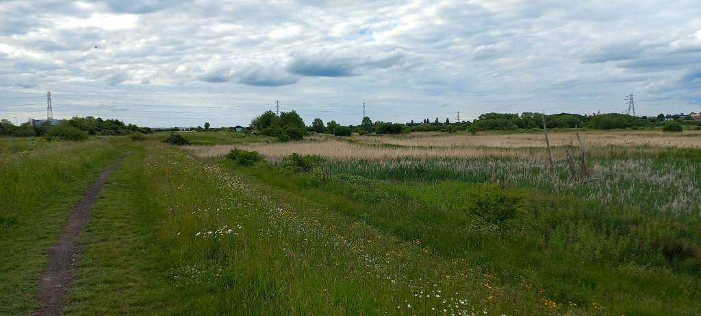
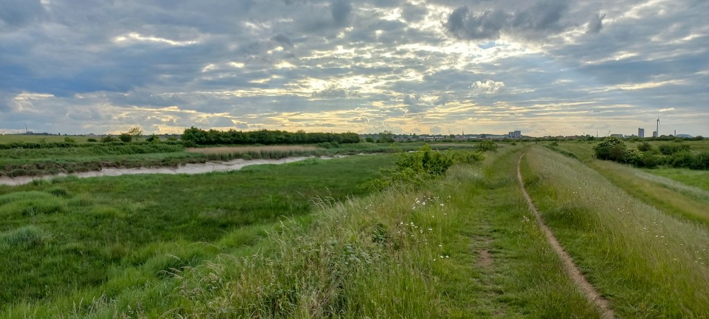
Beyond the town centre of Dartford you reach Mill Pond Road, where the waymarking sends you west to follow the road to the trainstation. Instead, you could opt to cross the road and continue to follow the river to reconnect with the official path again at Nelson’s Row and cross the river using a footbridge (just before the footbridge you have to walk around the building on your left to acces Nelson’s Row). For the last 5 km along the Darent you simply follow the one path along its bank until you finally reach the end of the Darent Valley path where the Darent flows into the Thames.
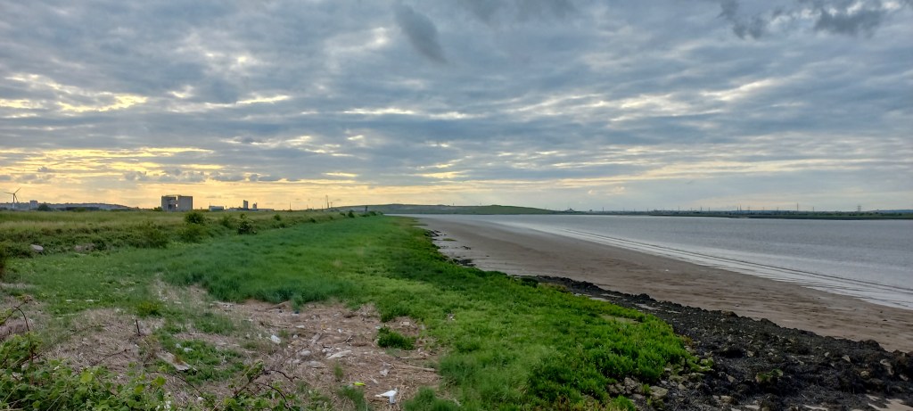
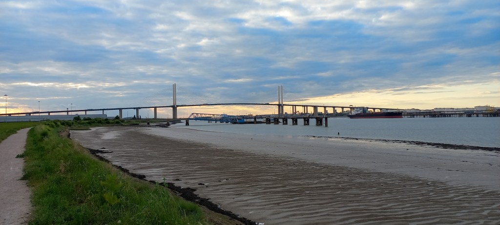
After reaching the end of the path you can simply follow the Thames east, pass underneath the enormous bridge of Dartford Crossing and about 300 metres after that take a path away from the river into an industrial area to reach Crossways Boulevard. The trainstation is just ahead on Charles Street, behind the Burger King.
Add the map below to your Google Maps account (click on the star) or download the GPX file via OpenStreetMaps and let’s get outside!
