This is the first section of the 78 miles (125 km) long Capital Ring. Most of the walks of The Capital Ring are through London’s green spaces. If you plan to walk all sections, I recommend this guidebook by Colin Saunders. This first walk of 6.2 miles (10 km) is a stunning introduction to the walk with woodlands, wide views, and parks. The route starts south of the Woolwich Foot Tunnel and finishes at Falconwood train station. The entire route is well waymarked.


The route starts at the south side of the Woolwich Foot Tunnel and follows the riverside towards the city with views on the Thames Barrier. Just before the barrier the route leads away from the river towards and into Maryon Park and Maryon Wilson Park.
You cross Carlton Park Road and turn into Charlton Park with a refreshment kiosk next to a playground. A little further you will see Charlton House before leaving the park. After crossing Charlton Park Lane you follow the route into Hornfair Park, passing the Queen Elizabeth Hospital, and into Woolwich Common.
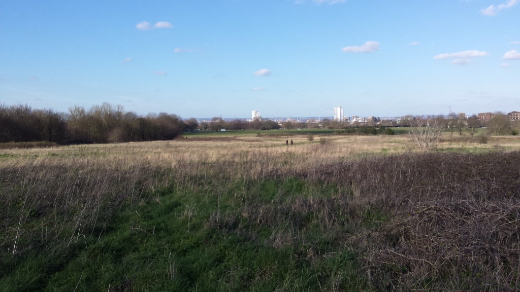
Leaving Woolwich Common you follow a road towards Shooters Hill, one of the highest points in Greater London at 130 metres high. Eltham Common leads to Castle Wood where you pass the pretty Severndroog Castle. The last section of this walk provides extensive views across the south-east of London and beyond. In Oxleas Meadows a perfectly located café looks out over south-east London, all the way to the South Downs.
The woodlands of Oxleas Wood and Shepherdleas Wood take you to Falconwood station, where the route ends.
Add the map below to your Google Maps account (click on the star), download the GPX file via OpenStreetMap, or download the map and route description at tfl.gov.uk and let’s get outside!
