This is the 14th section of the 78 miles (125 km) long Capital Ring. Most of the walks of The Capital Ring are through London’s green spaces. If you plan to walk all sections, I recommend this guidebook by Colin Saunders. This 14th walk of 5.1 miles (8.3 km) is a delightful walk with wide views towards the city. The route starts at Hackney Wick station and finishes at Royal Albert station. The entire route is well waymarked.

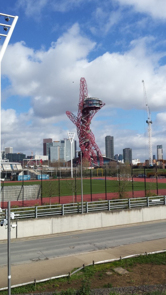


The route starts outside Hackney Wick station, immediately turning left following White Post Lane to Queen’s Yard, a creative area with small independent businesses and restaurants. Cross River Lee Navigation and turn right on the other side to follow the towpath towards the Olympic stadium.
Just south of the stadium you go under a bridge and immediately after you turn left going up to The Greenway, a 9.6km track above sewage pipes. Unfortunately the route does not continue beyond the excellent View Tube café (where they serve plenty of vegan deliciousness), so you briefly need to go down do Marshgate Lane to go underneath a railway bridge and go back up to The Greenway immediately after the bridge.
You follow The Greenway for about 5km. Near the end you cross Boundary Lane and pass a schoolground. Just beyond the school you turn right and go down, away from The Greenway, to emerge on Stokes Road. At the end turn left and the first street to the right to come to a footbridge to cross the busy Newham Way.
Continue ahead, first along a road then a track, into Beckton District Park. Follow The Capital Ring waymarks through the park and maybe take a short diversion to the lake. Cross Tollgate Road and continue ahead through the park. At a T-junction turn right to join Stansfeld Road to a roundabout which you cross to finish the walk at Royal Albert station.
Add the map below to your Google Maps account (click on the star), download the GPX file via OpenStreetMap, or download the map and route description at tfl.gov.uk and let’s get outside!
