This 58km walk in Peak District takes you around Upper Derwent Valley and Kinder Scout. There are no campsites along this route, very few pubs, and the route is not waymarked, so bringing plenty of food and a map is essential. I walked this route between 1-3 May 2021.
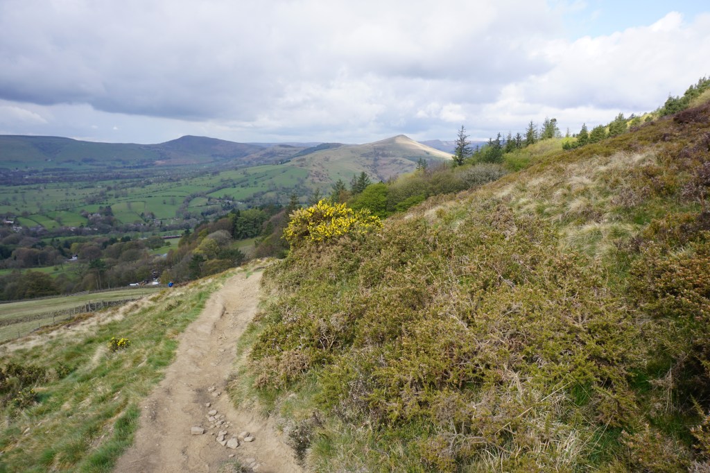
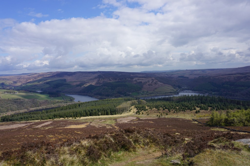
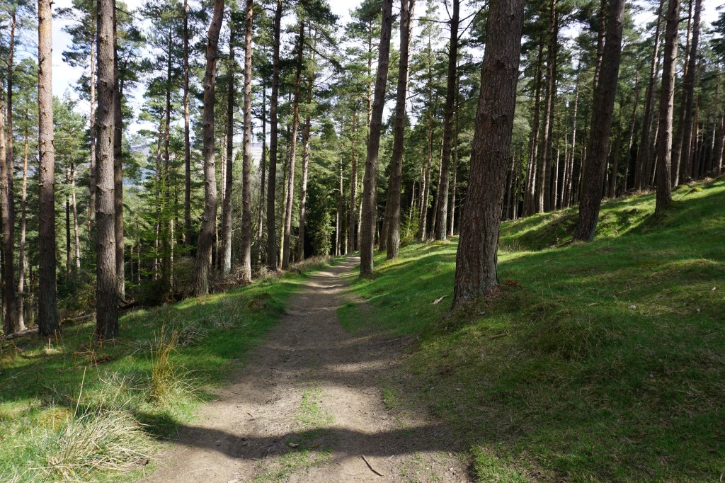
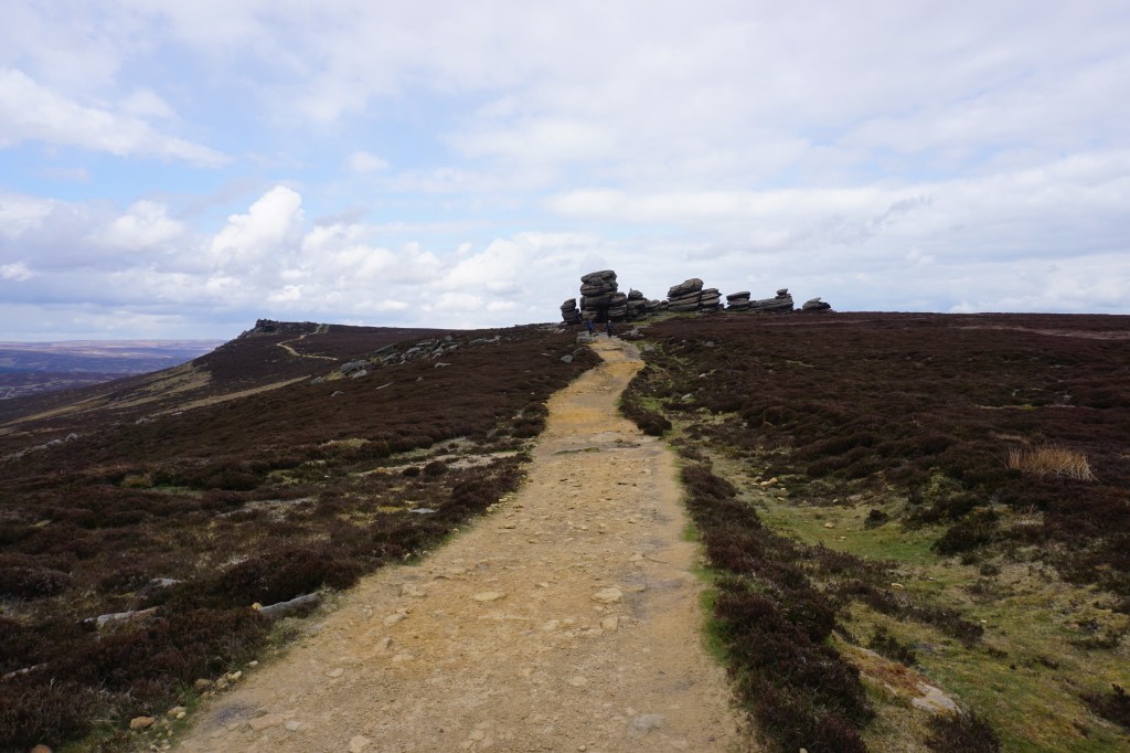

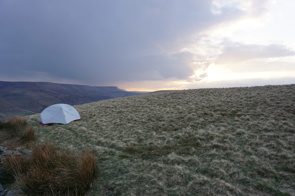

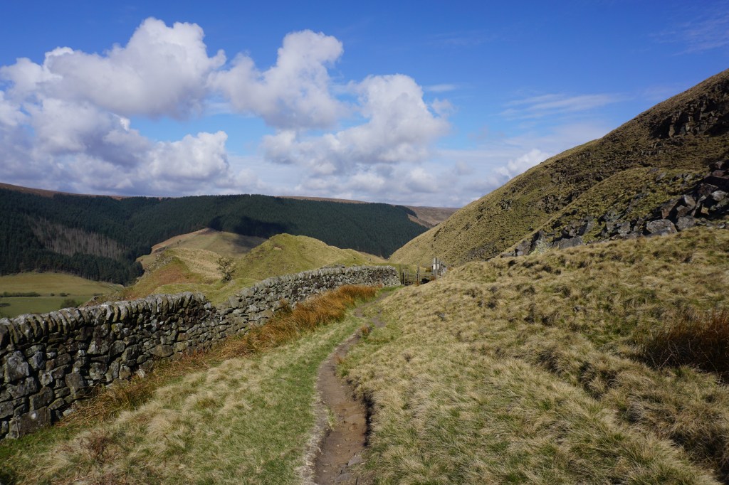
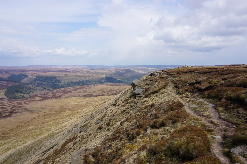


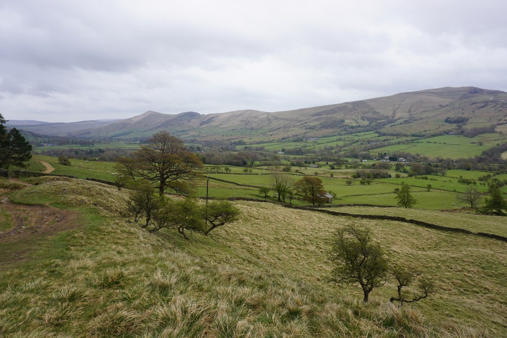
This 3-day hike starts at Hope railway station. Day 1 (22.5km) contains three climbs, first up to Win Hill with spectacular views over Ladybower Reservoir. After descending, you enter a tranquil pine forest to reach the Reservoir, which you cross at Ladybower Reservoir Dam and Ladybower Viaduct. Just behind the Ladybower Inn, a footpath climbs up towards Derwent Edge. Along this edge you will encounter spectacular rock formations, such as Wheel Stones, White or, Cakes of Bread, and Back Tor. After the wide views from Lost Lad you will decent and reach Derwent Reservoir, with a small kiosk and toilets at the Upper Derwent Visitor Centre. The third ascent of the day is to Rowlee Pasture, via the woods of Lockerbrook, where I made camp (see star on map below) and could enjoy a lovely sunset.
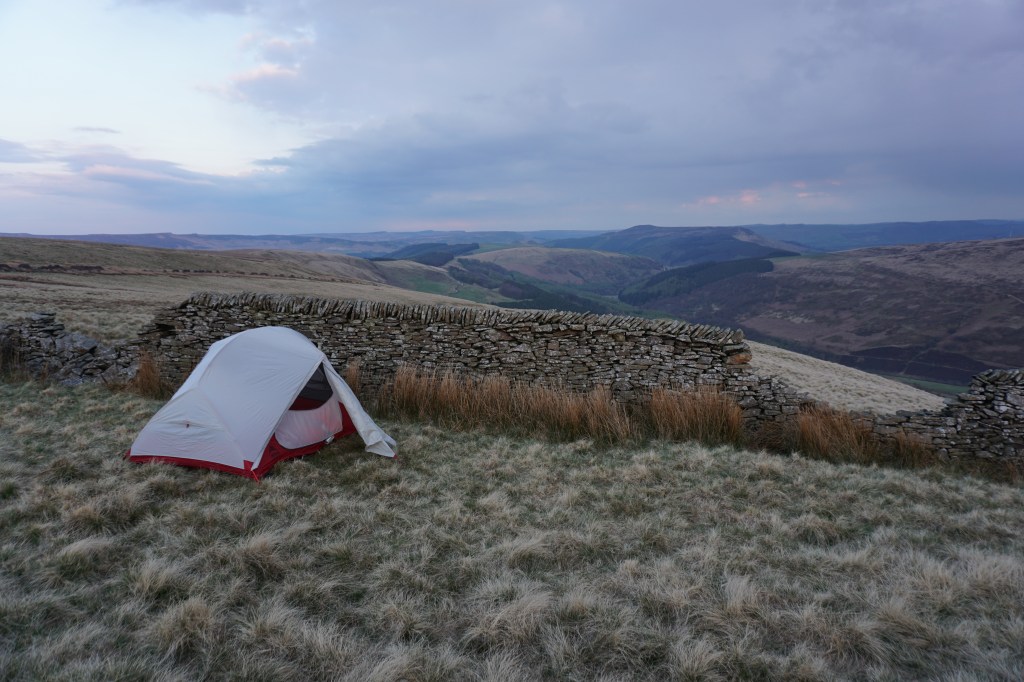
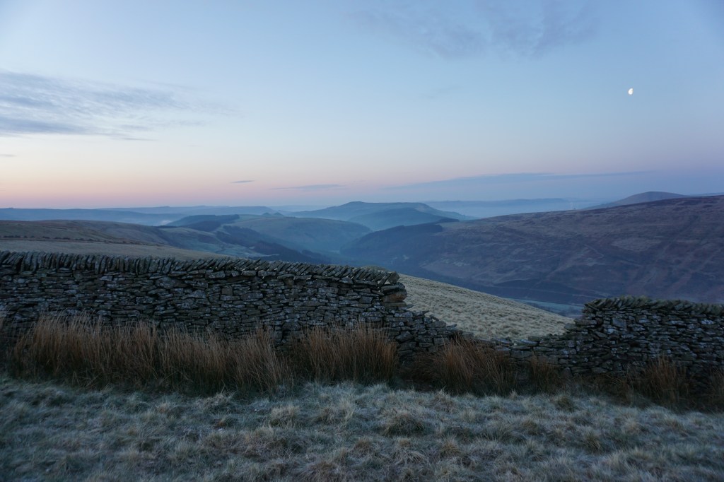
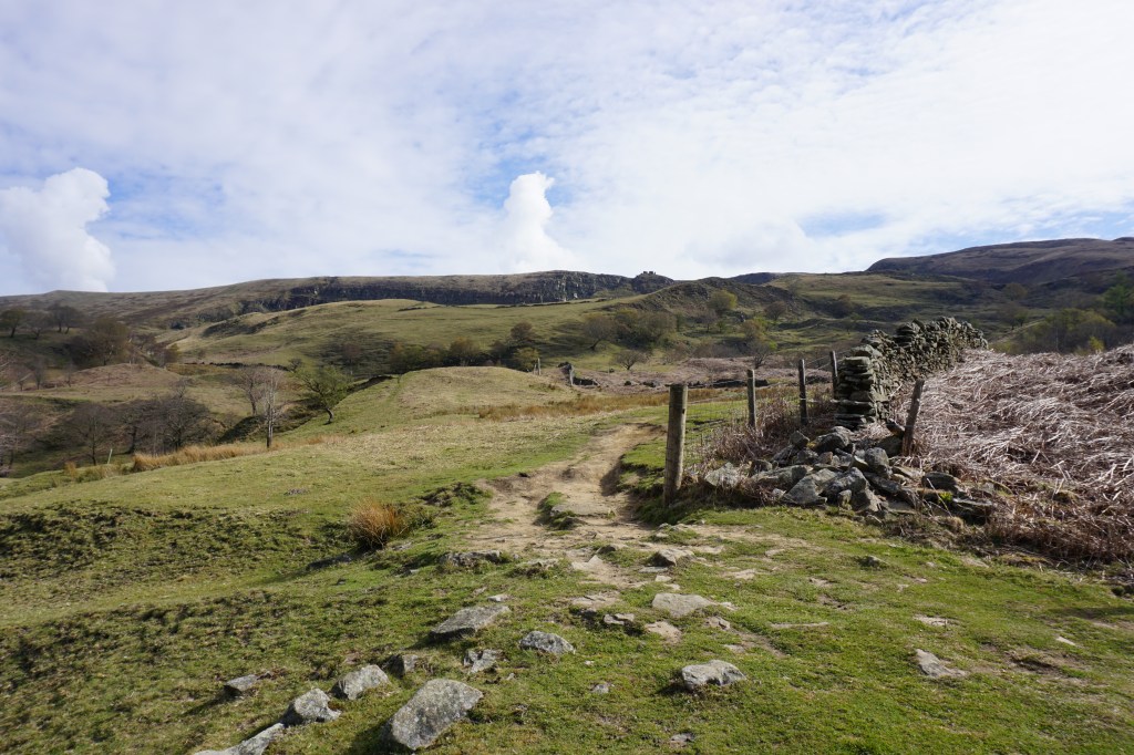
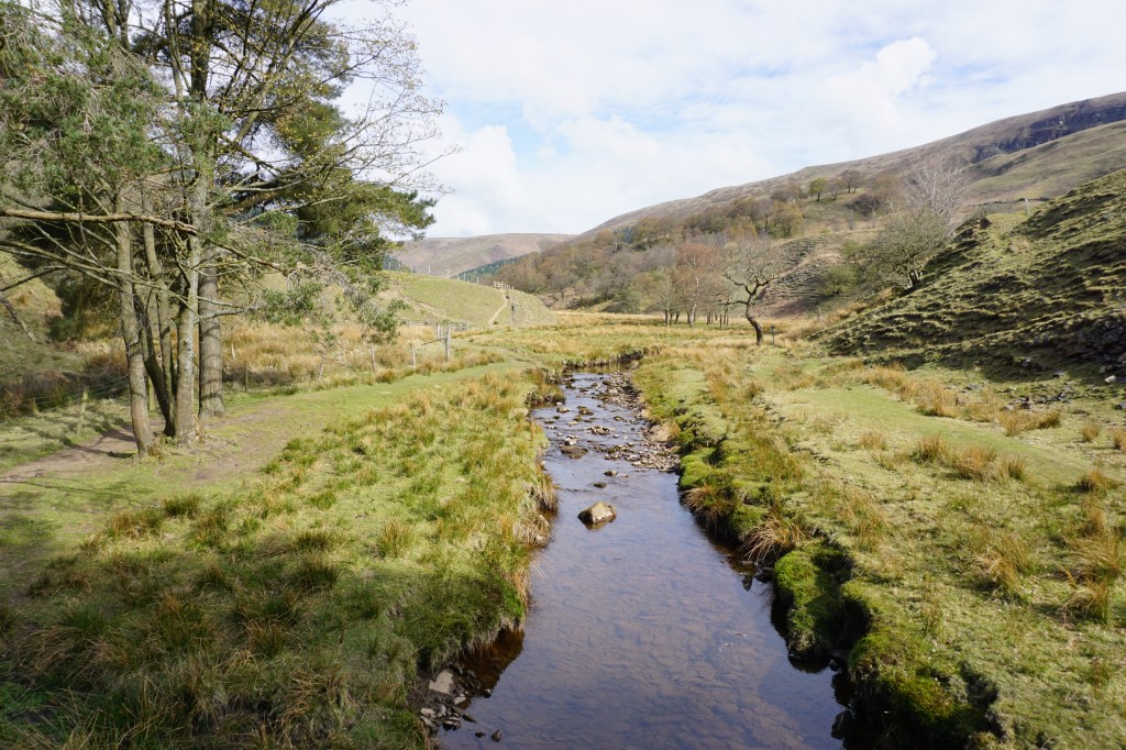
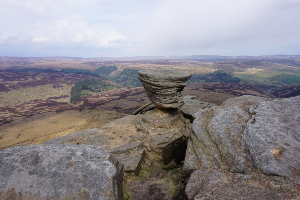
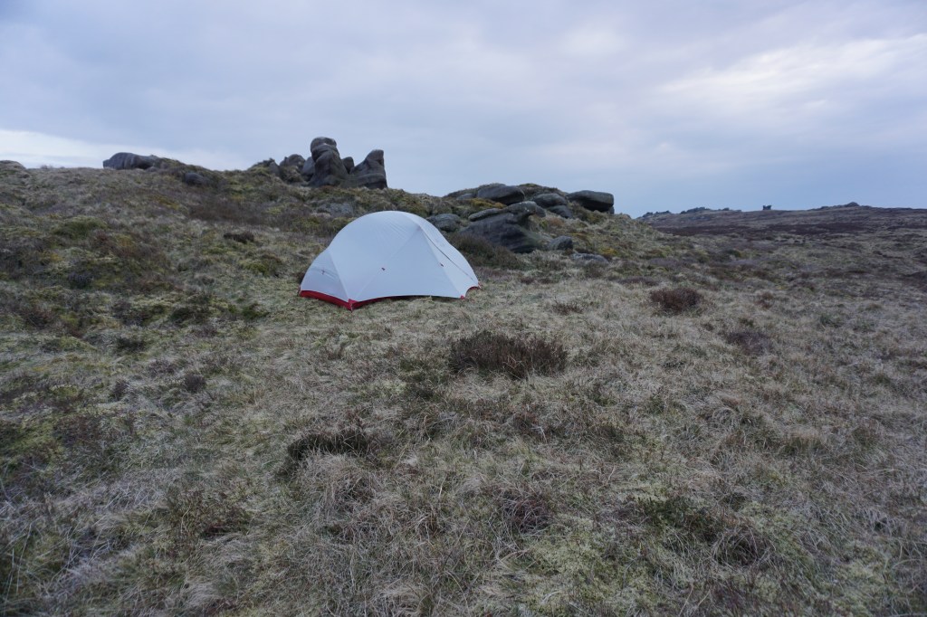
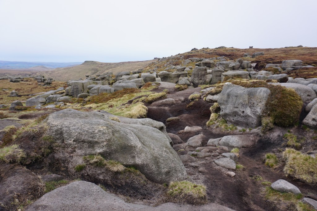
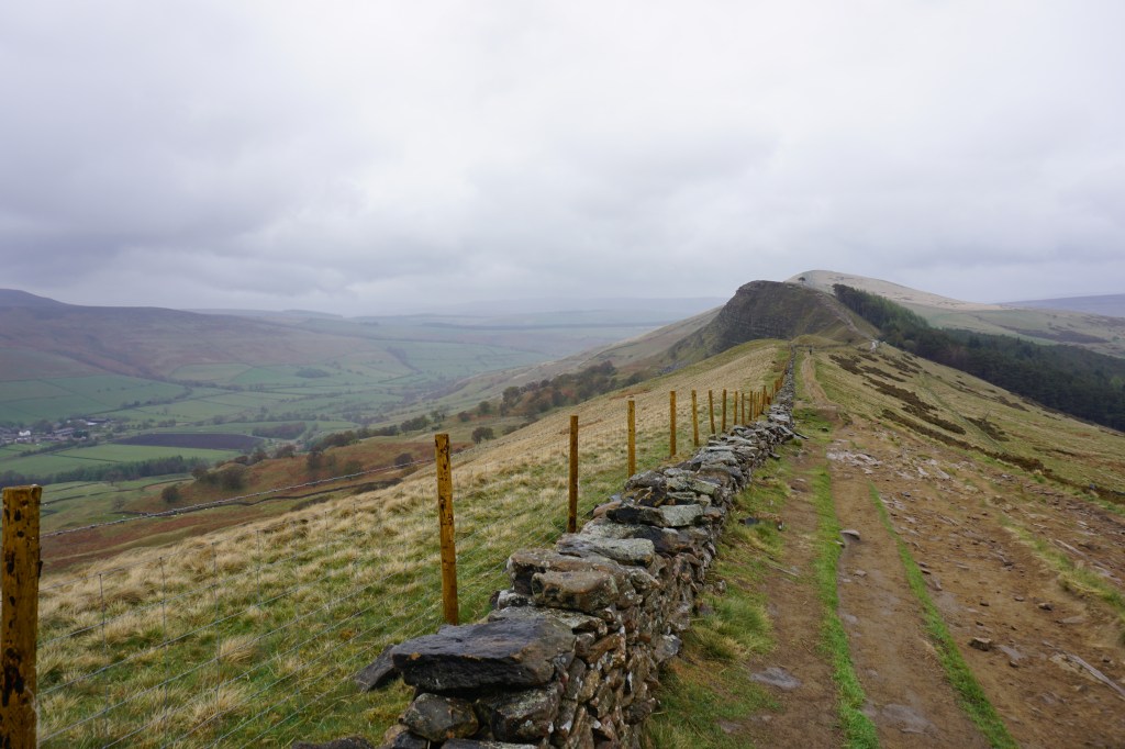
Day 2 (20.5km) started beautifully with clear skies and a beautiful sunrise. The night had been very cold as my tent was covered in frost. After having coffee and porridge, I continued along the ridge of Rowlee Pasture, after which I descended into the lush valley of Alport Farm. Following a dirt track with views over the valley and Snake Road the route continues over a footpath slightly ascending ad through beautiful meadows and pastures. After a descend to Snake Road, unfortunately the Snake Inn located there appears permanently closed, I followed the River Ashop until Fair Brook. Here, a steep climb along Fair Brook led me to Kinder Scout plateau. At the top I turned tight to follow the edge with wide views to walk all around the plateau to Kinder Downfall, which was not even as much as a trickle of water. A more difficult to navigate route crossing the plateau over moorland I reached the other side of the plateau at the rock formation of Crowden Tower. I made camp just beyond this point around Wool Packs (see star on map below).
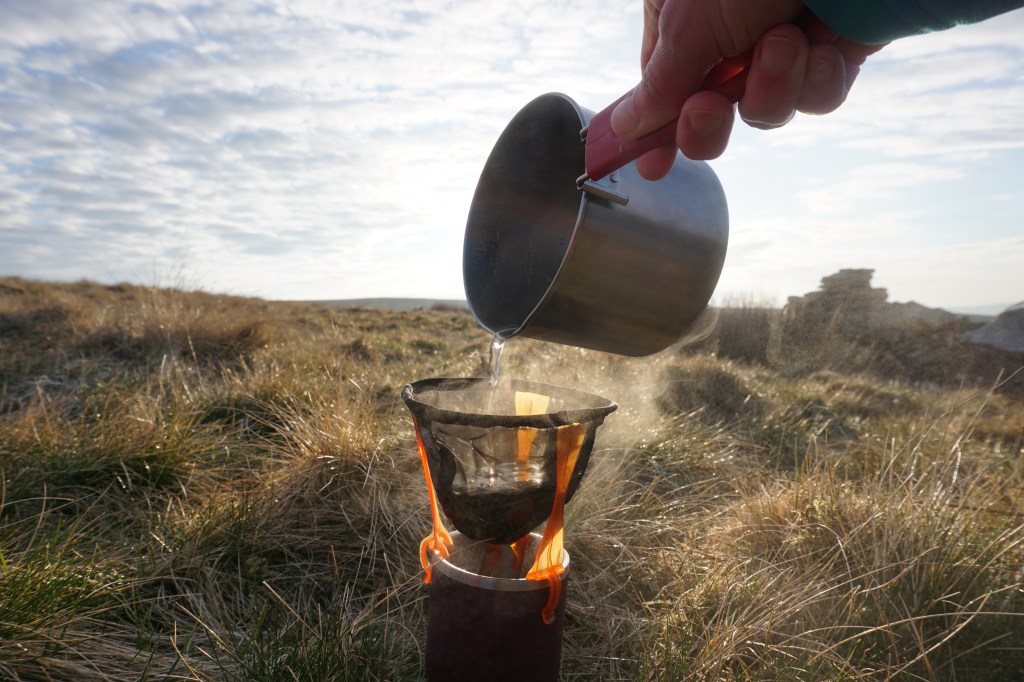
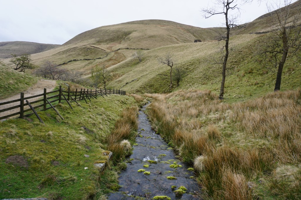
Day 3 (15km) started very foggy, I could not see more than 20 metres so I stayed a bit longer in my tent than I usually would. This last day of the walk is an easy walk as it starts with a long but beautiful descend into Edale. At the bottom of Jacob’s Ladder I took a break to have my breakfast next to the River Noe. The rest of the route into Edale is a moderate descend through pastures. If you do not have enough time to continue the route to Hope, you can finish the walk at Edale. If you continue, you climb steeply to Hollins Cross and on to Back Tor and Lose Hill. It started raining as soon as I left Edale with wind picking up, so I skipped the tops of Back Tor and Lose Hill and instead took the route below the ridge through Brocker Booth Plantation to get away from the ice-cold rain. A descend into Hope, back to River Noe, led me back to Hope railway station, where this hike finishes.
Add the map below to your Google Maps account (click on the star) or download the GPX file via OpenStreetMap and let’s get outside!
