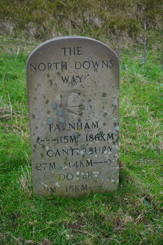
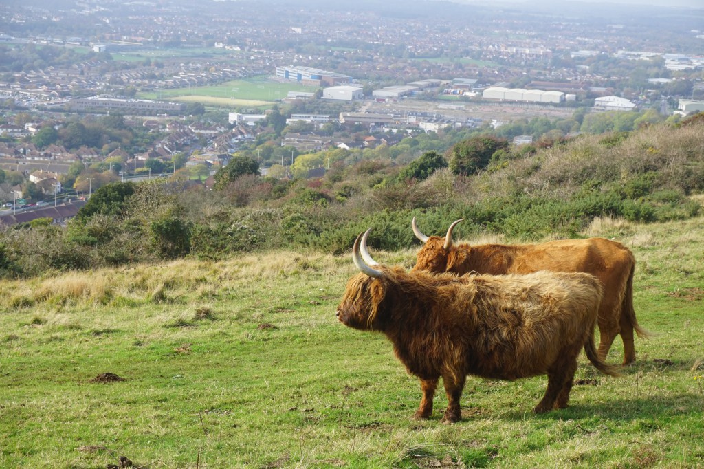
The North Downs Way is a beautiful long distance walk in Southeast England. The North Downs Way is a 246 km long National Trail from Farnham to Dover. It roughly follows the old Pilgrims Way from Winchester to Canterbury and is a relatively easy walk as there are few steep climbs and mainly goes through the rolling hills. Towards the end of the trail there are two routes to Dover, one via Canterbury and one via Folkstone, or you can combine the two alternative routes and walk it as a loop.
I had planned to walk the whole route, including the loop, in 10-12 days in July 2020. At this point we were just in between Covid-19 lockdown 1 and 2 and campsites were allowed to open. However, campsites along the North Downs Way are extremely scarce so I planned to wild camp in my bivvy bag the whole trip. The first night I was so uncomfortable and scared that I decided to go home at the end of day two, and eventually it took me three trips to complete the North Downs Way, excluding the alternative route through Canterbury. The first three days I walked in July 2020, days 4-8 late October 2020. For this route I used the official guidebook by Colin Saunders, which breaks down the route into 15 sections. The entire route is waymarked.
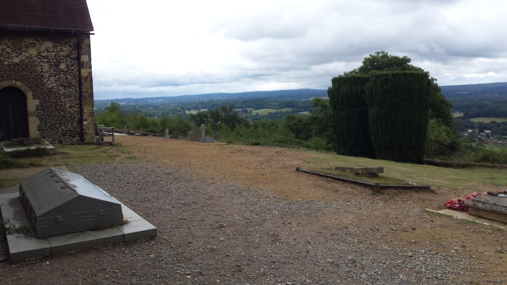
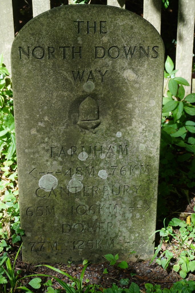
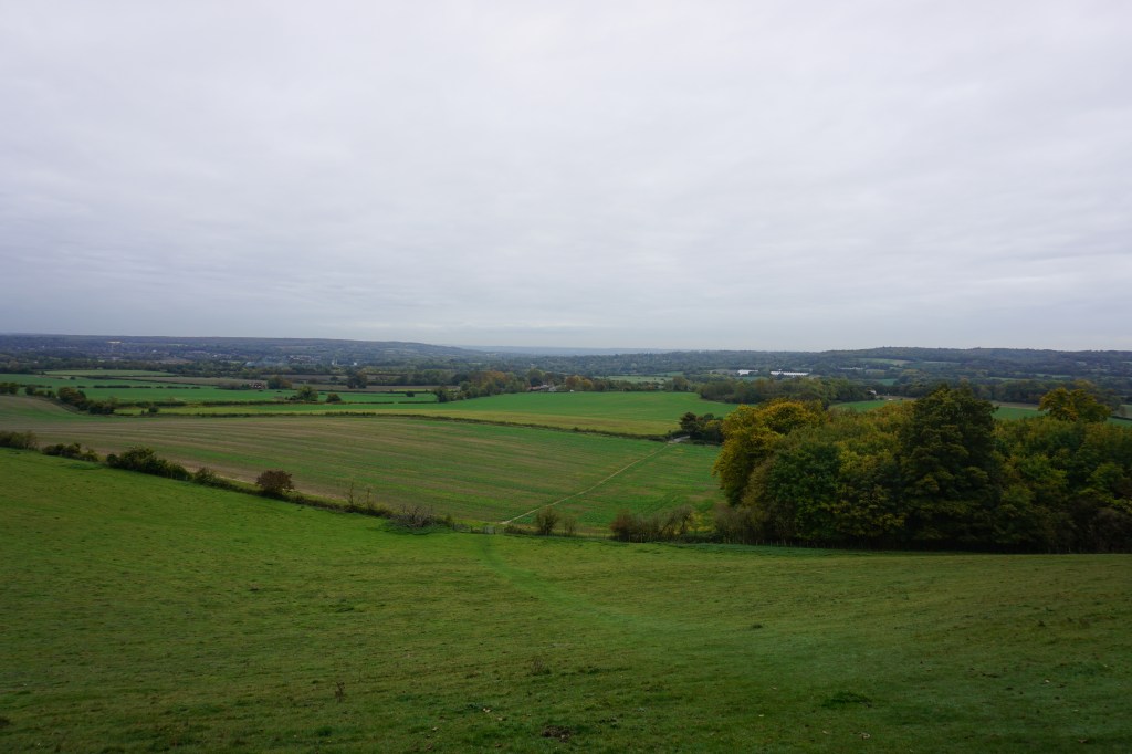
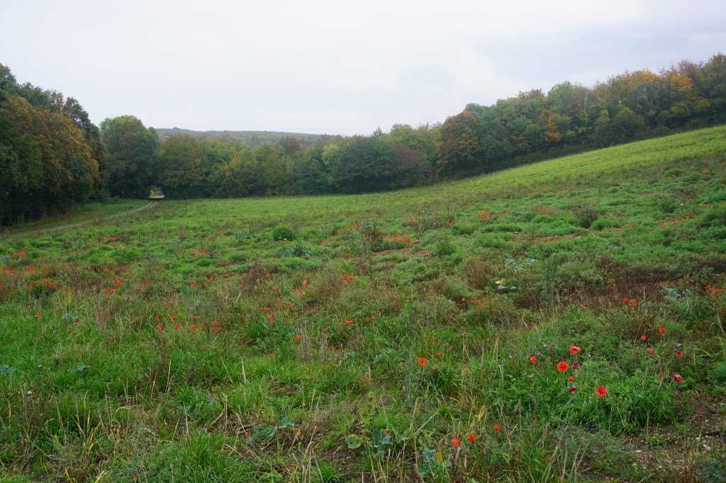
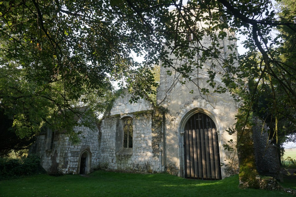
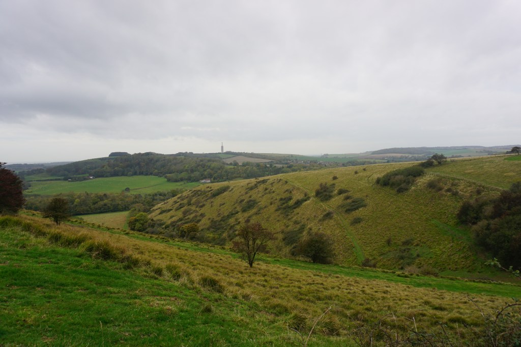
Day 1 (35 km) started at Farnham Station, near to which the official North Downs Way start is marked by a monument. The monument is located next to a busy road so it feels a little odd for a starting point. This first day crosses farmland, heathland, and woodlands and gets a little tougher around Guildford and had plenty of beautiful views towards the south. I made camp behind the church in Ranmore on a field between a horse paddock and the cemetery (see map below). I slept in a bivvy bag and was uncomfortable all night because of the sounds and the rain. This was also my fist wild camp in the UK and I did not look forward to spending another uncomfortable night, so instead of pushing on to Dover, I decided to go home after the second day’s walk.
Day 2 (20 km) started with rain, but luckily it soon cleared up a little in time for the steep climb up Box Hill. I ended the walk at Merstham railway station where I took the train home.
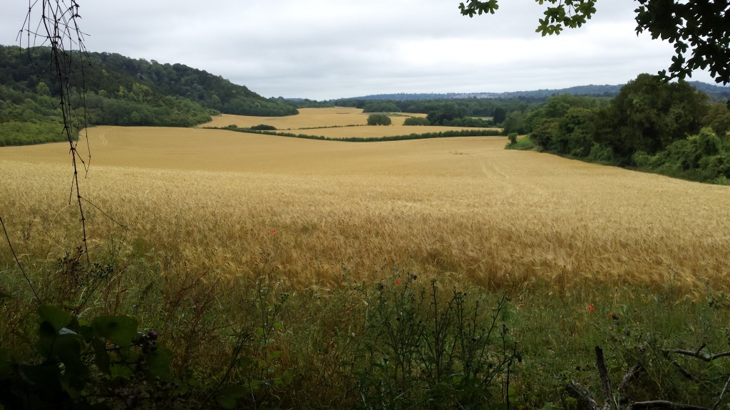
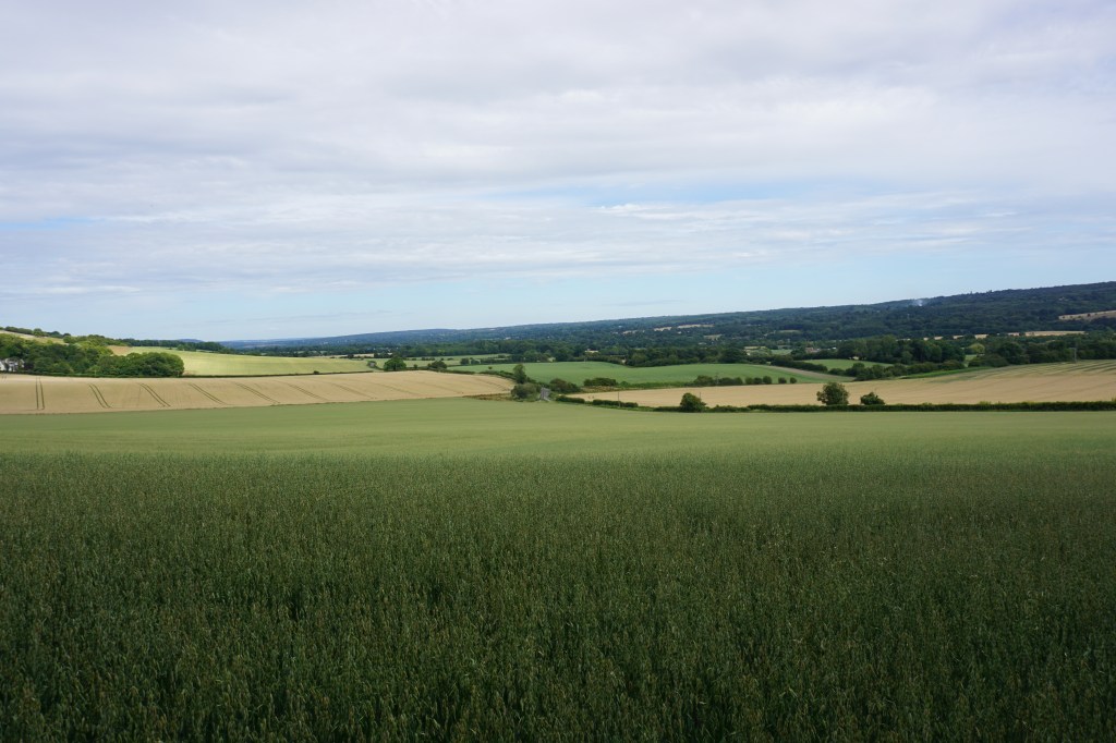
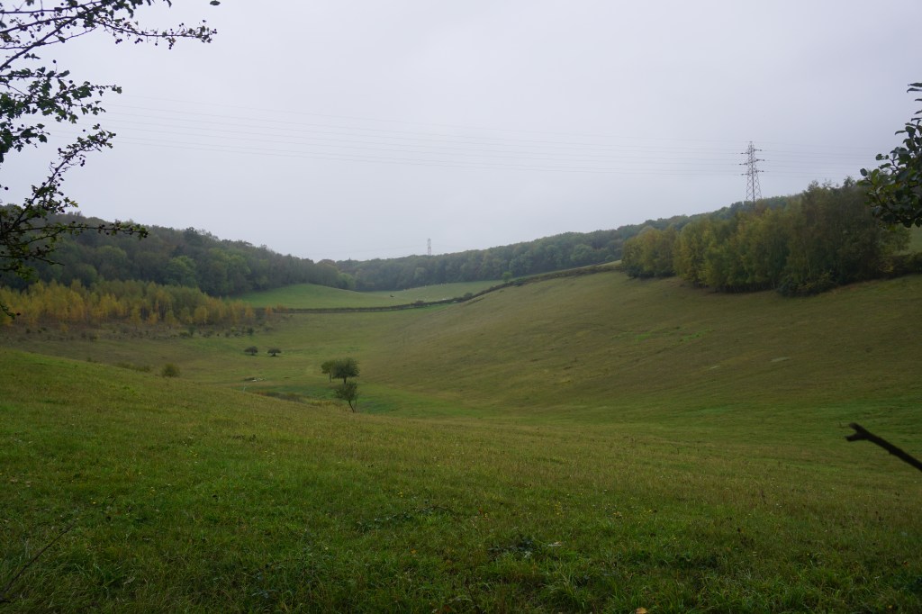
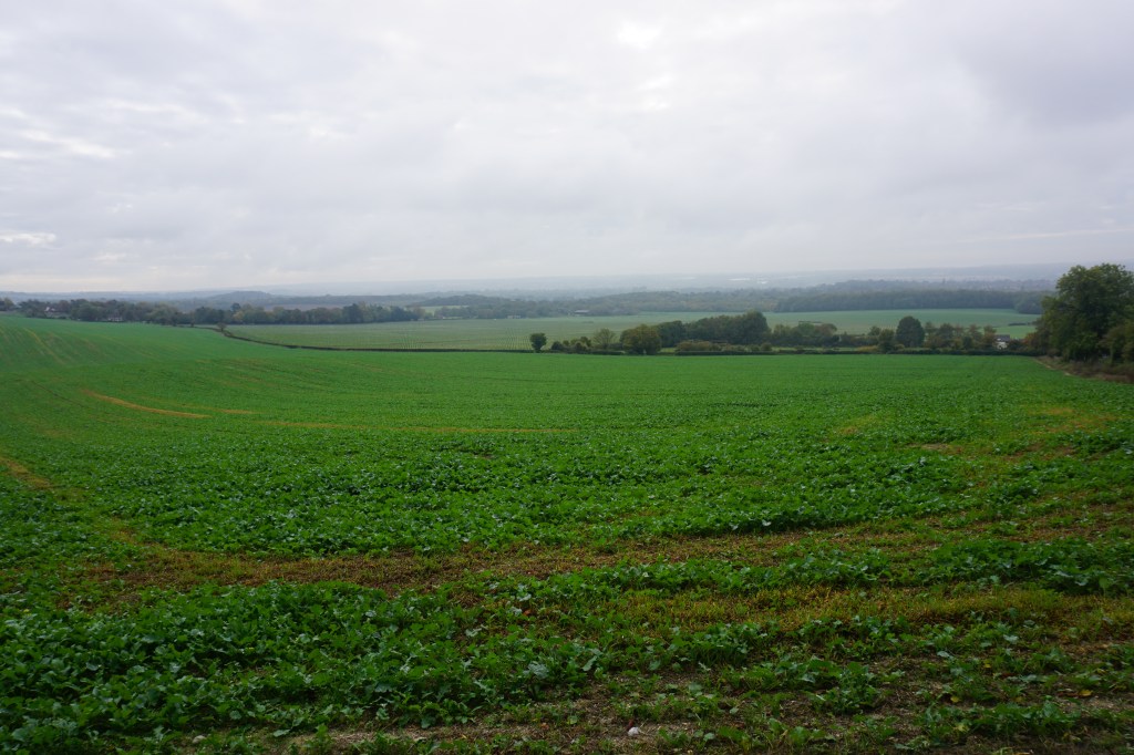
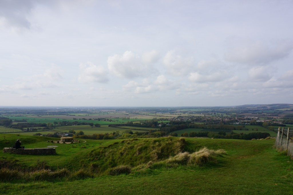
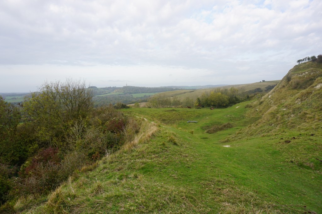
Day 3 (32.5 km) I started fresh at Merstham railway station for a day-hike to Otford railway station. This walk encountered farmland, woodlands, and viewpoints and crosses the Greenwich Meridian. The highest point of the route is Botley Hill. At Otford Station I again took the train home.
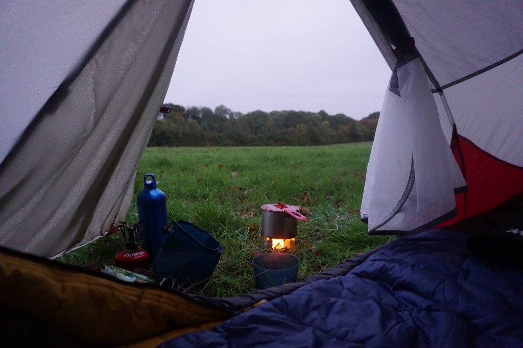
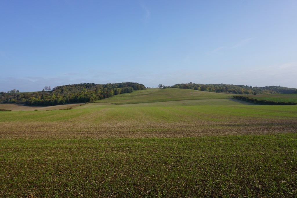
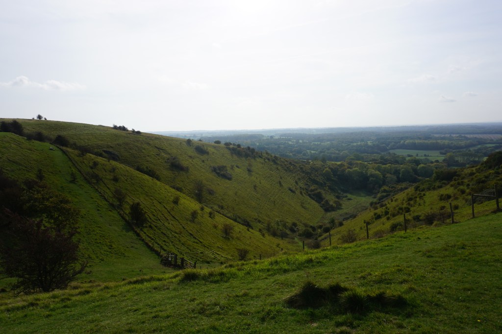
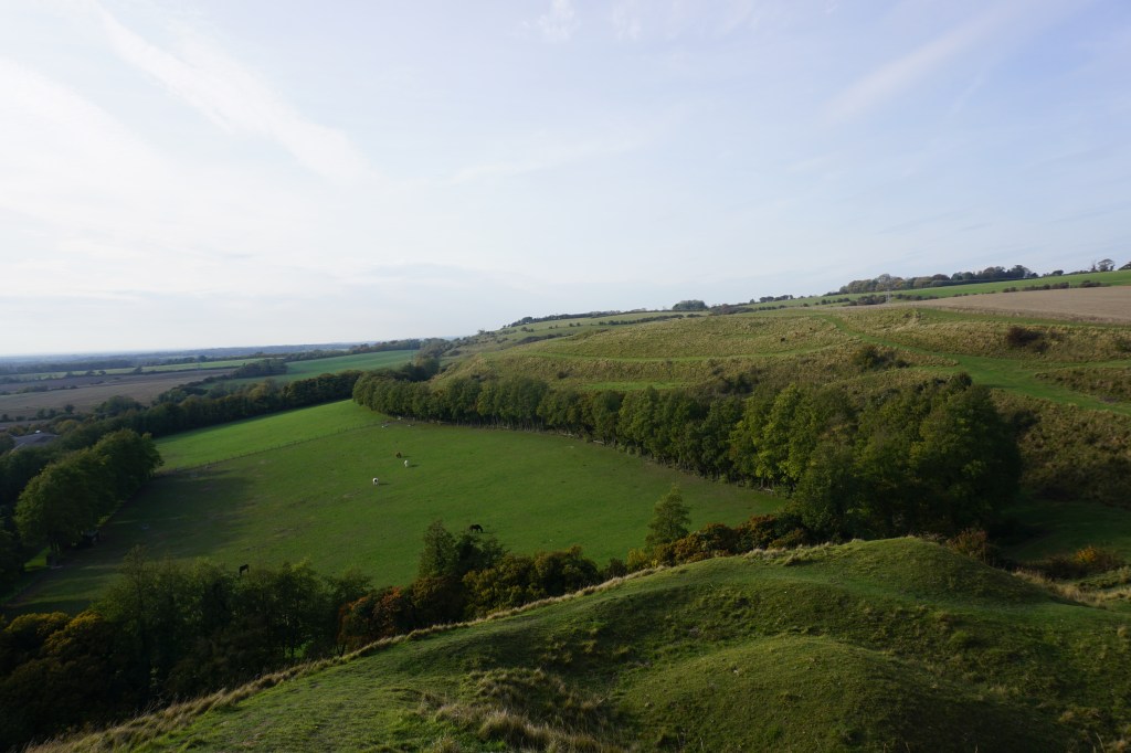
Day 4 (20.5 km) I started at Otford railway station, now again back to continue multiple days of hiking and camping until reaching Dover. This time I brought my tent instead of only my bivvy bag, which really helped me get comfortable wild camping. The walk started with a long and steep climb up Otford Mount to continue on a footpath on the ridge of the hills. After a descent you reach Rochester Forest and crosses two valleys. Just before Upper Bush I made camp in an open field surrounded by woodlands (see map below). Around 11pm I was woken up by a car with bright lights that crossed the field. I got scared for a second there as I had not expected any cars to be able to come there. It turned out to be a forest guard who came to check the area and luckily he told me I could stay there for the night.
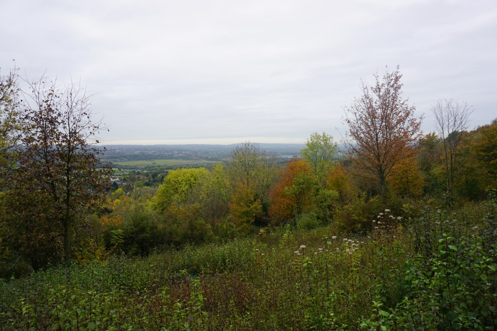
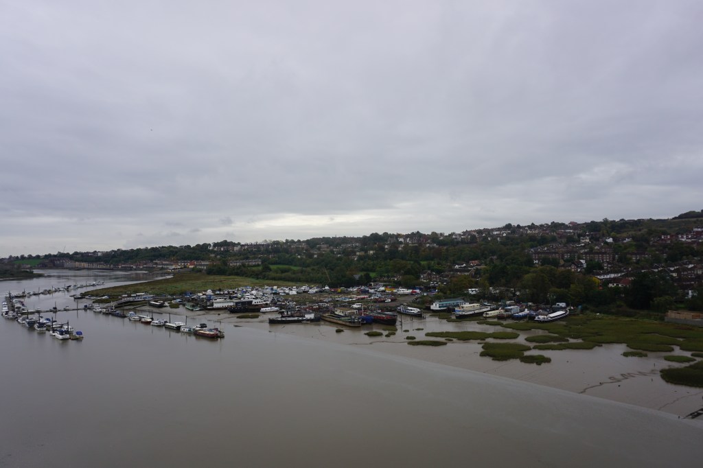
Day 5 (25 km) After a good sleep I woke up early to have coffee. The walk first led into Cuxton and continued with a climb over Ranscombe Farm Reserve and a long. loud, and boring crossing of the Medway Bridges. A long and level walk through farmland ended in Blue Bell Hill. I had not had breakfast yet, so ate in Mickey’s Diner just south of Blue Bell Hill. In the late afternoon I arrived at campsite Oak View Holidaypark in Detling (see map below), a small village with a little but useful shop.
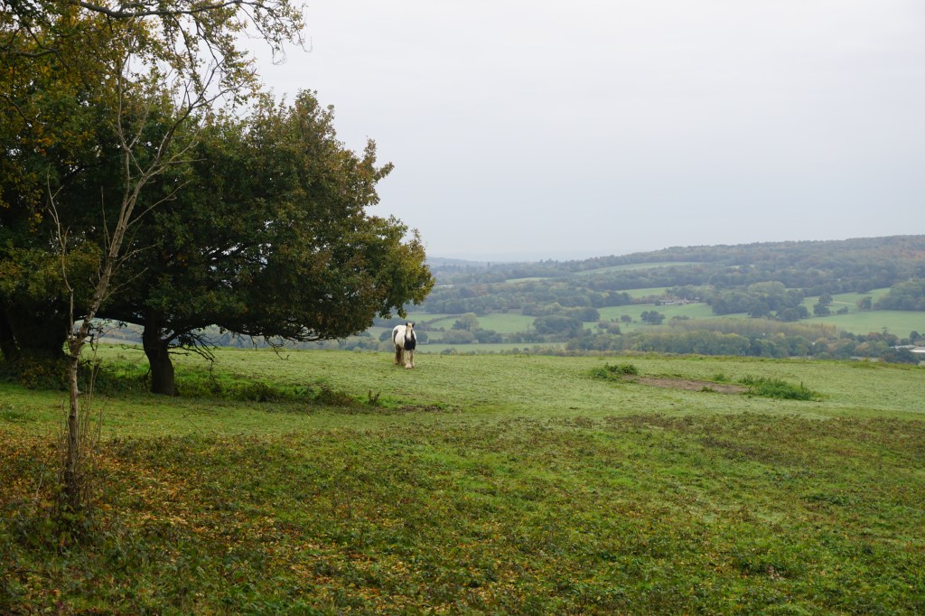
Day 6 (25 km) I left the campsite mid-morning and started with several steep ascents, which luckily became less towards the end of the day. I had booked a campsite on a farm, Lacton Manor, just beyond Charing. This was an unofficial campsite without any facilities except fresh water and I had pitched my tent between the sheep (see map below). Since it was not wild camping, despite the similarity in lack of facilities, I slept very good without waking up once.
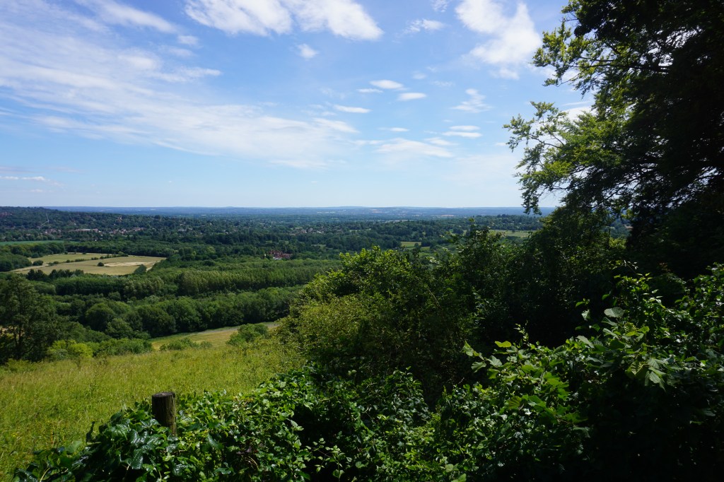
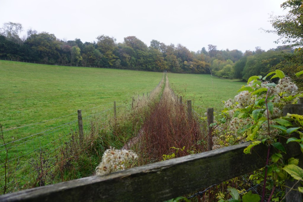
Day 7 (28 km) I left the campsite early and the majority of the route coincided with the Pilgrims Way over an unpaved track where I was frequently disturbed by groups of people on dirt bikes. On this day I got the first glimpses of the English Channel, suggesting it would not be much longer until Dover. The area I had picked to pitch my tent turned out to be military area. There were not many other possible sites for a wild camp, so I rang the bell at a horse farm to ask if I could pitch my tent in one of their empty fields (see map below).
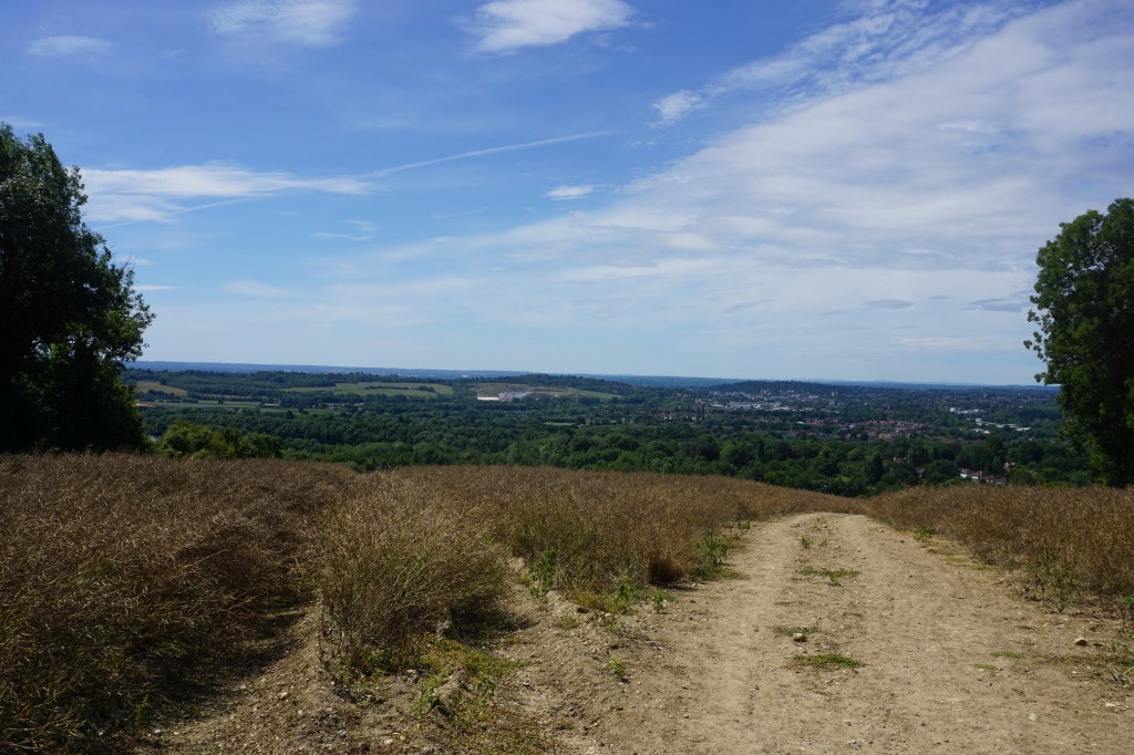
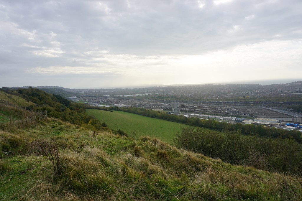
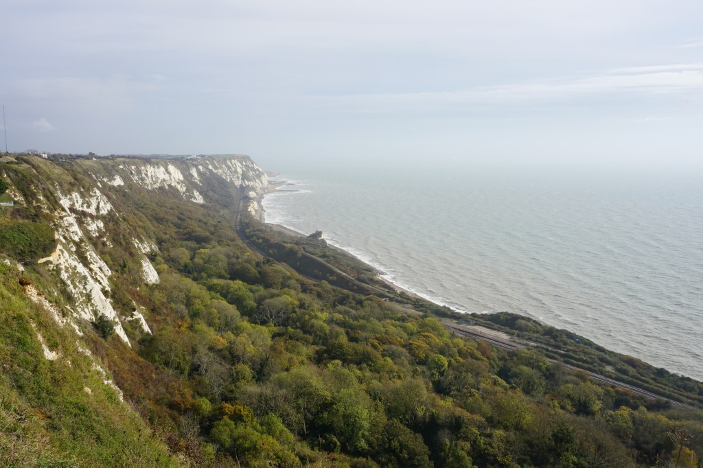
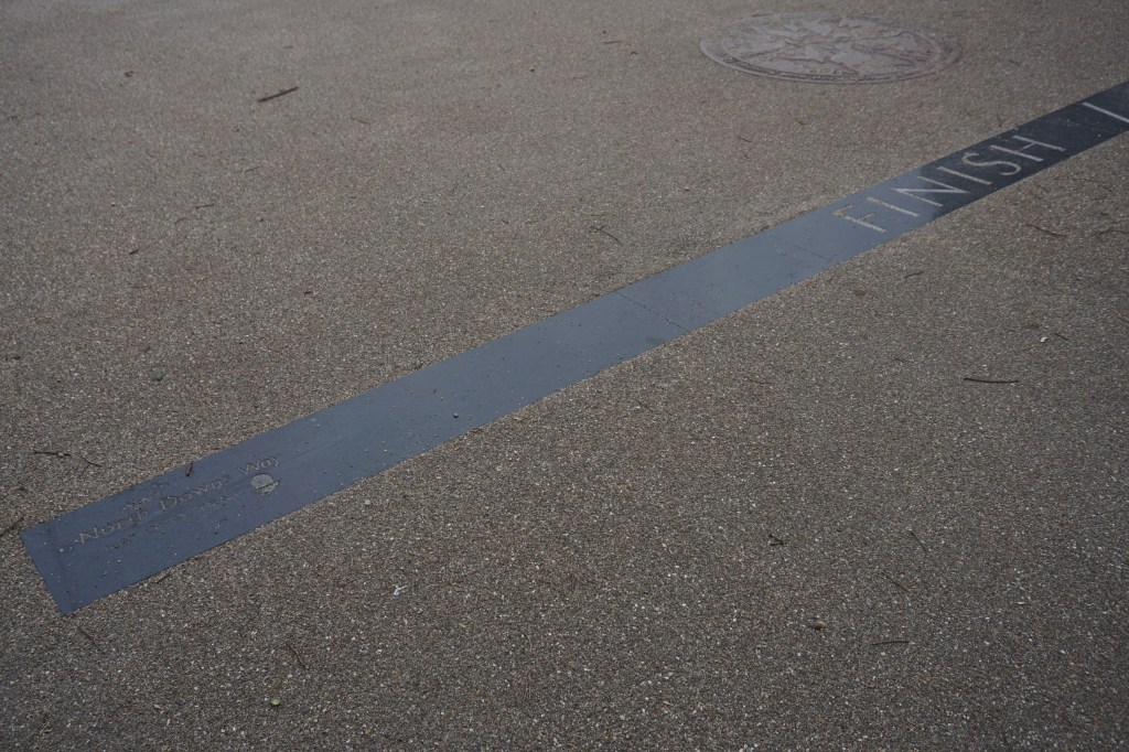
Day 8 (20 km) This was one of the most spectacular days of the whole North Downs Way with stunning views over the white cliffs between Folkstone and Dover and the English Channel. I finished my walk in Dover, where a monument at the beach signals the finish of the North Downs Way. There is still a section of the North Downs Way remaining; the Canterbury Loop. I have to save this final section of two days for another time when Airbnbs and hotels are again permitted to open.
Add the map below to your Google Maps account (click on the star) or download the GPX file via OpenStreetMap and let’s get outside!

Hello Lianne,
I am looking to do the Pilgrims Way this summer and maybe wild camp and came across your site.
I was curious as to why you were initially nervous. I imagined the area was mainly sparsely populated off route. Is that not the case?
Thank you
LikeLike
Hi Mark,
I am generally nervous wildcamping in an area I have not been before. Much of the route goes through or along farmland/pastures but it is quite easy to find good camp spots.
Enjoy your walk!
LikeLike