The official route of the Pymmes Brook Trail is 19 km, but with the connections from and to the stations, the total route is 23 km (14 miles). The trail roughly follows Pymmes Brook from its start at Jack’s Lake to where it flows into River Lee Navigation near Tottenham Hale. The route alternates between woods, parks, marshes, and residential streets. The section between Pymmes Park and Tottenham Marshes is a 3,5 km stretch through uninspiring streets and an industrial area, but luckily you’ll be rewarded with the fields of Tottenham Marshes afterwards. The waymarking is generally good, only sporadically the waymarking is incorrect or unclear. The Pymmes Brook Trail can be started from New Barnet train station, or High Barnet tube station.


Regardless wether you start at New Barnet train station or High Barnet, to get to the official start of the Pymmes Brook Trail you cross King George’s Fields. Looking back from the top will provide some nice views towards Tottenham.
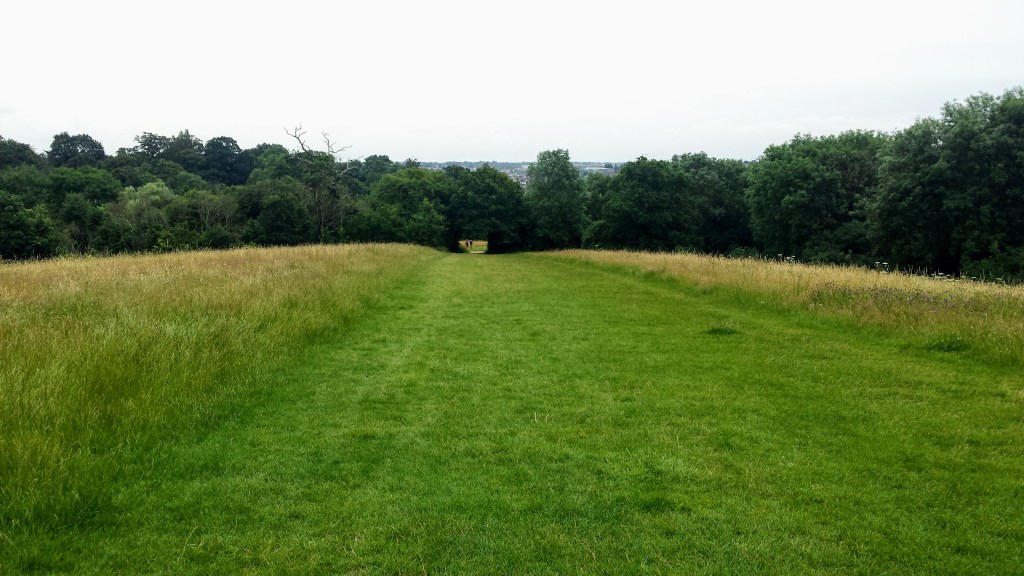
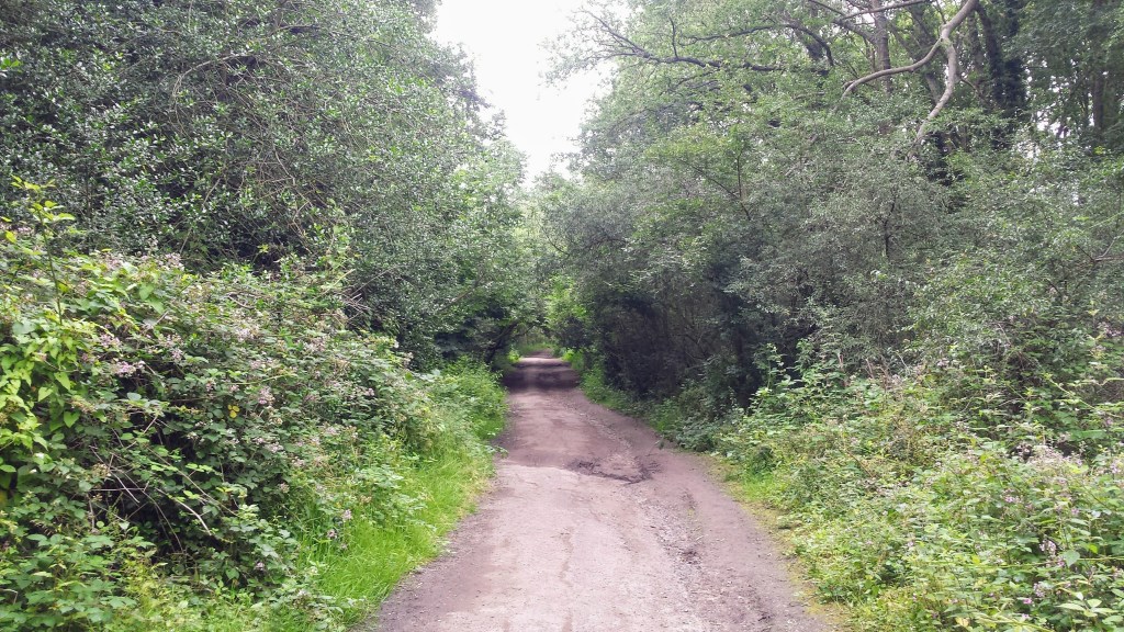
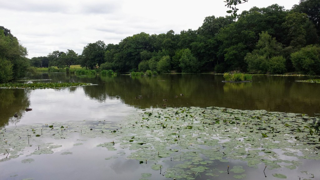
Once you reach Hadley Green the trail officially starts and from here to the end of the trail, the path is mainly easy and level. Soon after a church you reach Hadley Wood. The trail follows a path next to the road, but you can also follow a parallel trail on the left side of the road through the woods. You cross a bridge over a railroad and then a wooden signpost before a small brick footbridge turns you right. Before doing so, however, cross the footbridge and turn left to visit Jack’s Lake. Jack’s Lake is a tranquil area from where Pymmes Brook springs and flows south to eventually merge with River Lee Navigation.
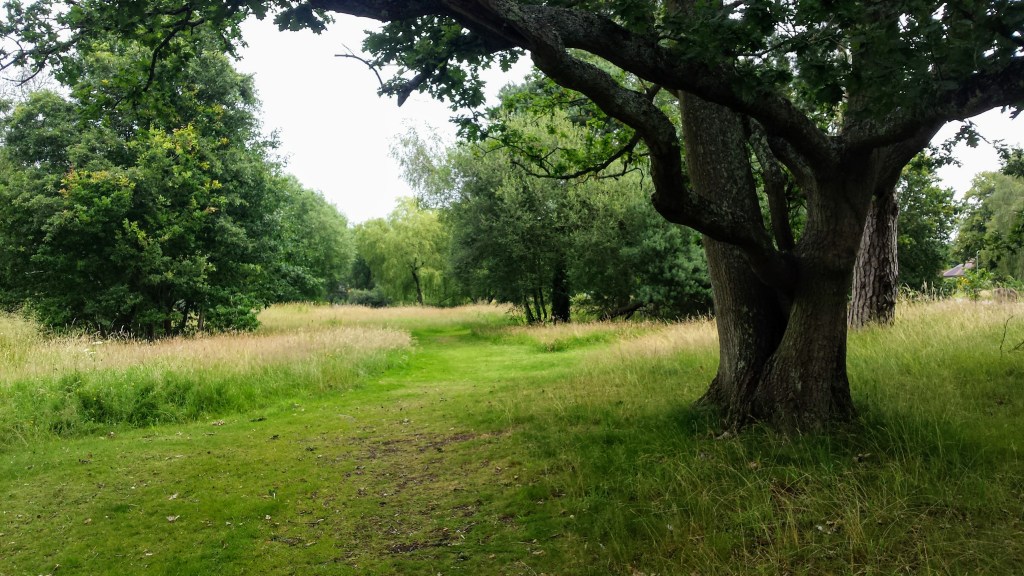
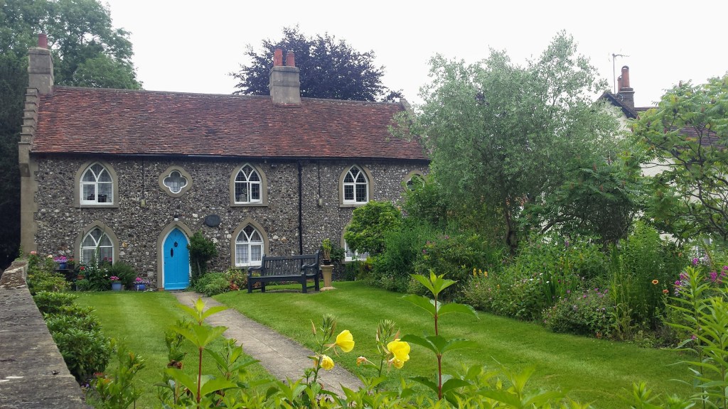
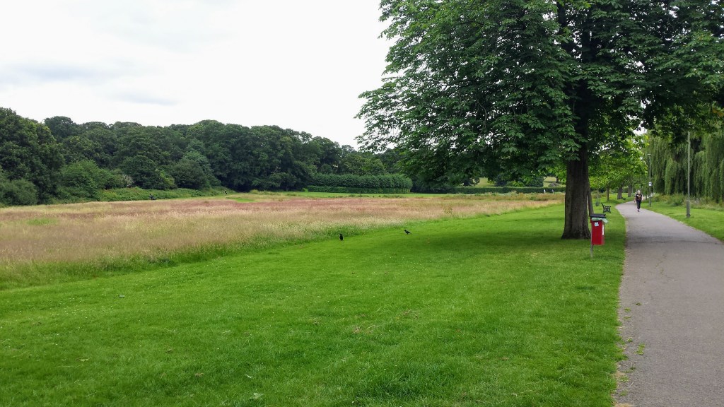
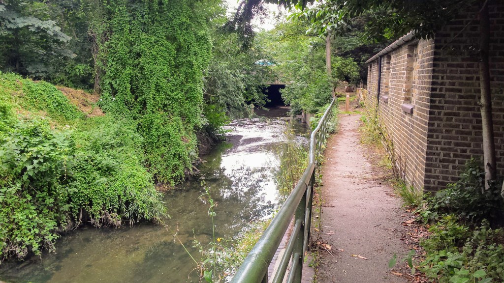
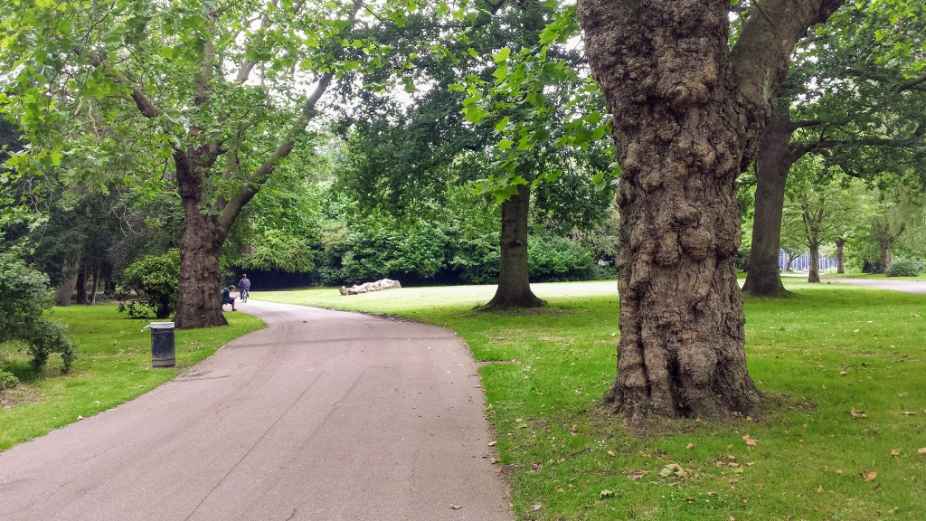
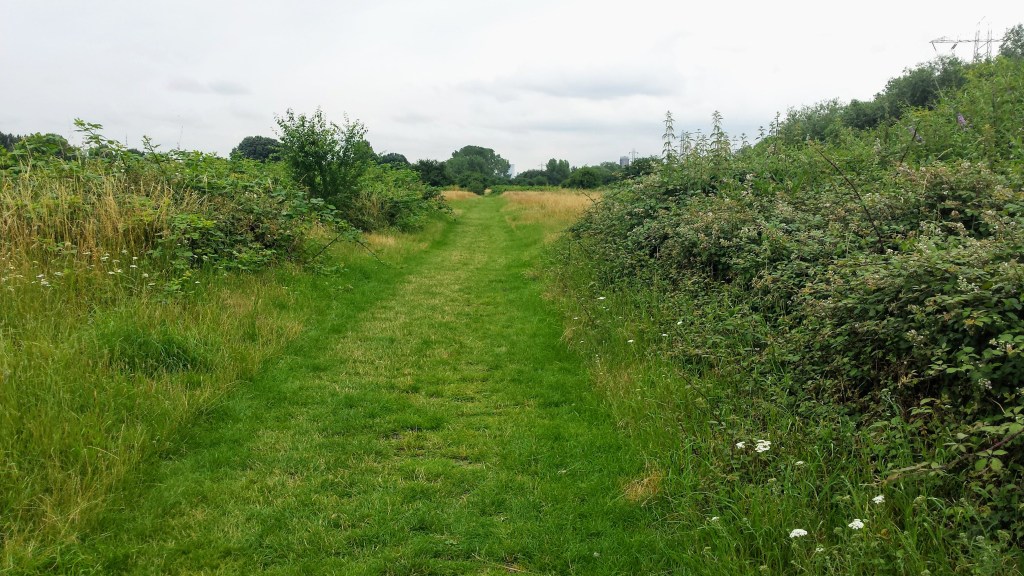
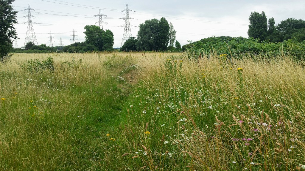
After retracing your steps back to the wooden signpost, the trail follows Pymmes Brook on and off, alternating between footpaths alongside the water and residential streets. The trail goes through the lenght of Oak Hill Park, then Brunswick Park, Arnos Park, the lovely Broomfield park, and finally Pymmes Park. Now a relatively long walk through residential streets and an industrial area follows until you cross Pymmes Brook and enter Tottenham Marshes. The trail follows the tarmac lane shared with cyclists, but more interesting is to take one of the grass paths in the same general direction.
Just after the Waterside Café you turn right to cross Pymmes Brook again and either follow the tarmac lane or take a diversion over the grass paths over Clendish Marsh to end up walking alongside the water again. At a footbridge over the River Lee Navigation cross over Pymmes Brook once more. Do not take the high footbridge over the River Lee, but take the path in between the River Lee and Pymmes Brook and follow the path to go underneith a bridge and soon after Pymmes Brook flows into the River Lee Navigation. From here retrace your steps back to the bridge and follow the map to Tottenham Hale station where the Pymmes Brook Trail finishes.
Add the map below to your Google Maps account (click on the star) or download the GPX file via OpenStreetMaps and let’s get outside!
