This is the 13th section of the 78 miles (125 km) long Capital Ring. Most of the walks of The Capital Ring are through London’s green spaces. If you plan to walk all sections, I recommend this guidebook by Colin Saunders. This 13th walk of 4 miles (6.6 km) follows the River Lea from Springfield Park to the Olympic Park. The route starts at Stoke Newington station and finishes at Hackney Wick station. The entire route is well waymarked.
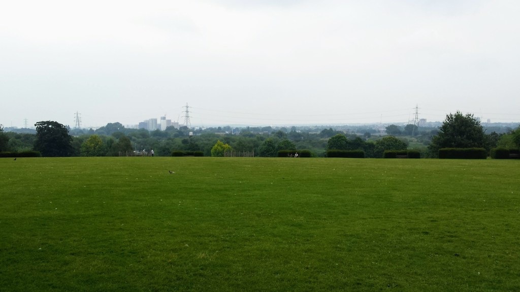


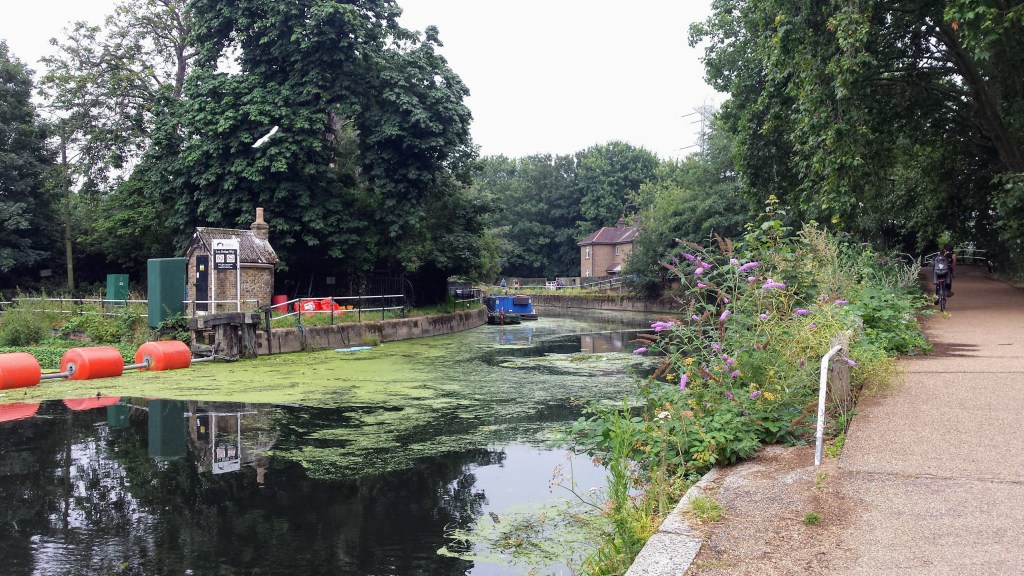


The walk starts at Stoke Newington station and the first section is through residential streets to enter Springfield Park with surprisingly wide views. Immediately upon leaving Springfield Park you cross the River Lea via a footbridge to enter Walthamstow Marshes. The official route keeps along the riverbank, but I would suggest you wander deeper into the meadows instead.
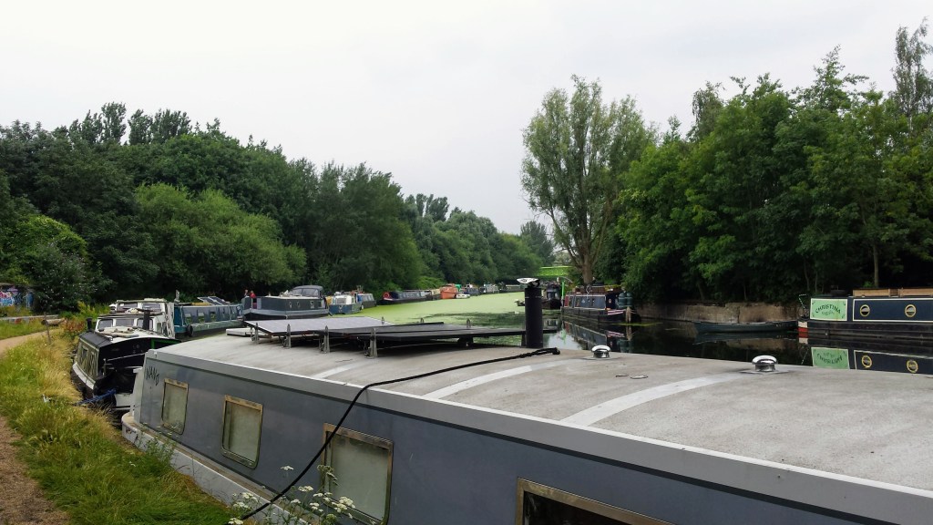
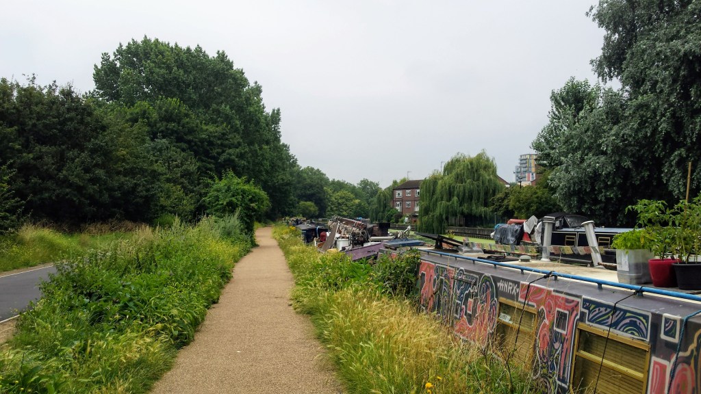
Just before the Lee Valley Ice Centre you cross the River Lea again to follow the river on the opposite side through North Millfields Recreation Ground. Soon after, the footpath again crosses the river and you enter the Hackney Marshes. I would again highly recommend to divert into the nature reserves rather than stick to the official Capital Ring route alongside the river.
As you come to walk between the River Lea and the Queen Elizabeth Olympic Park, it becomes busy with a great variety of restaurants and waterside cafés, a perfect spot to soak up the environment of the River Lea before heading to Hackney Wick station, where this walk ends.
Add the map below to your Google Maps account (click on the star), download the GPX file via OpenStreetMap, or download the map and route description at tfl.gov.uk and let’s get outside!
