The official Thames Estuary Path is divided into 5 accessible sections, but as sections 2, 4, and 5 are pretty short, I divided the walk into three longer sections. This first section, from Tilbury Town to Stanford-le-Hope is a 19 km walk with frequent views over the Thames and surprising open landscape. The route is waymarked but at times the waymarking was missing or unclear, so carrying a (digital) map of the route is helpful.
If you do this walk in late summer, make sure to bring a container along as there are lots of blackberries, elderberries, sloes, and rosehips to be picked and even pears and yellow plums!
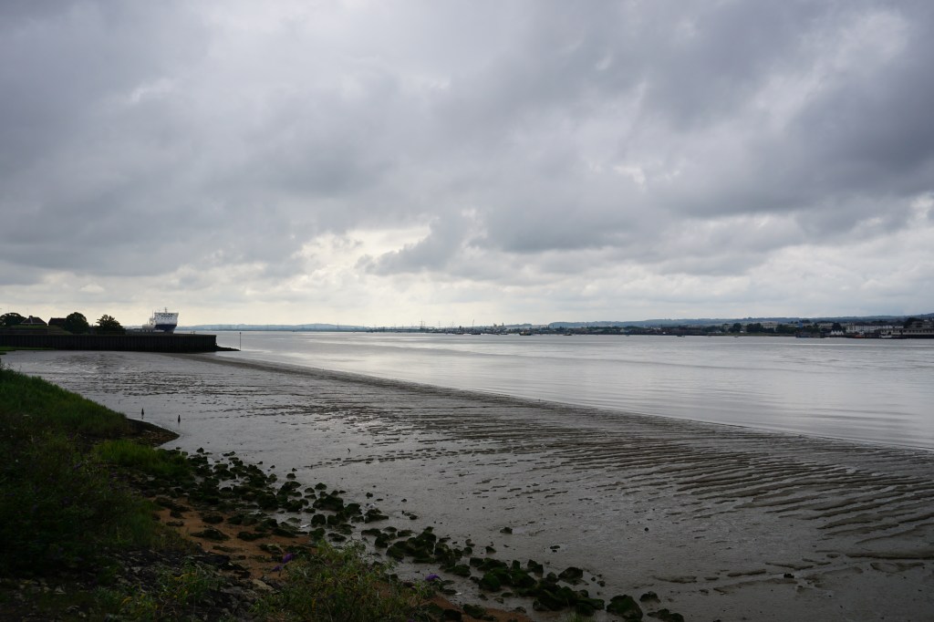

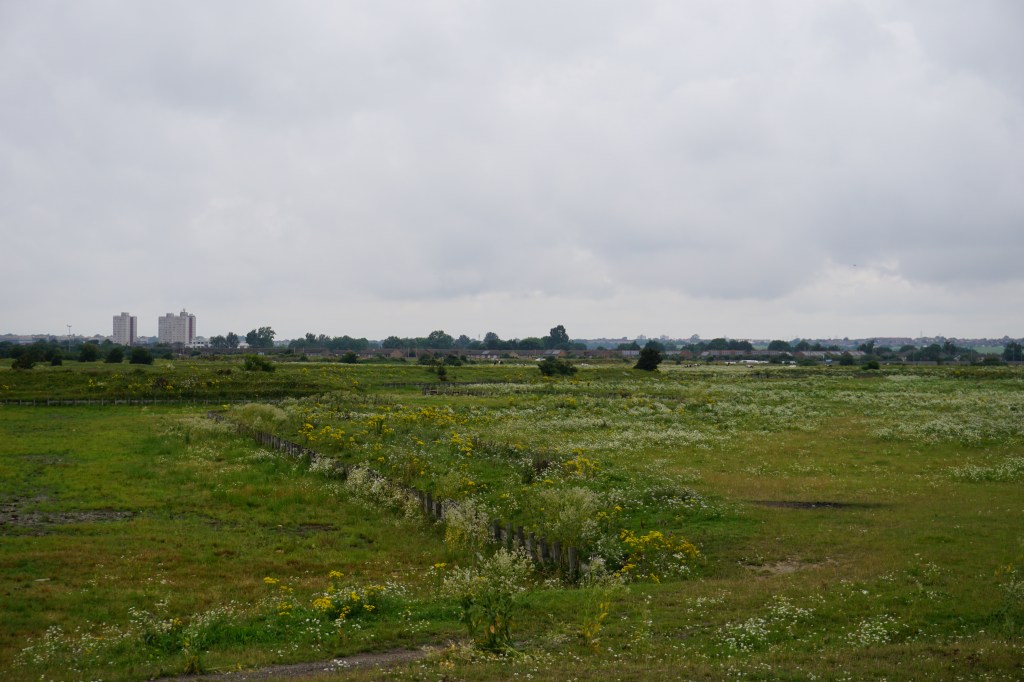

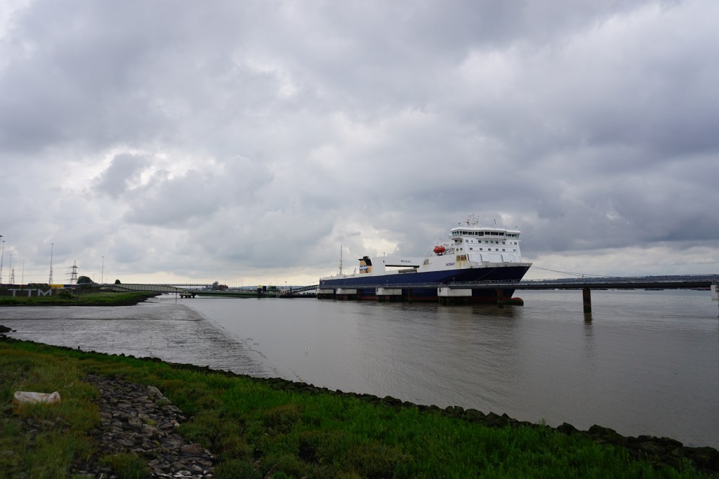
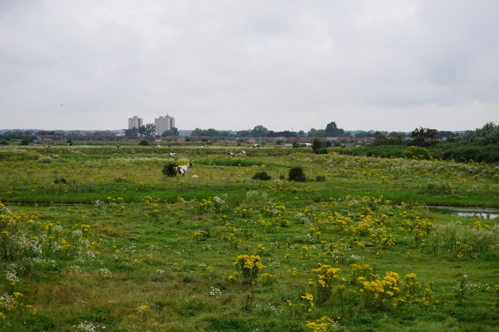
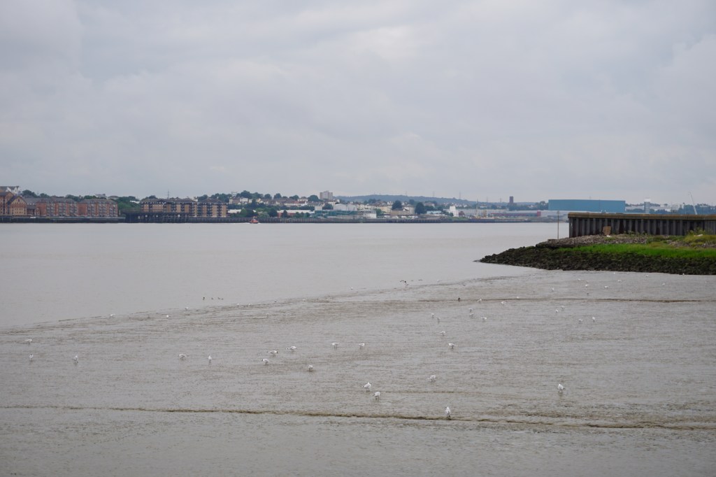
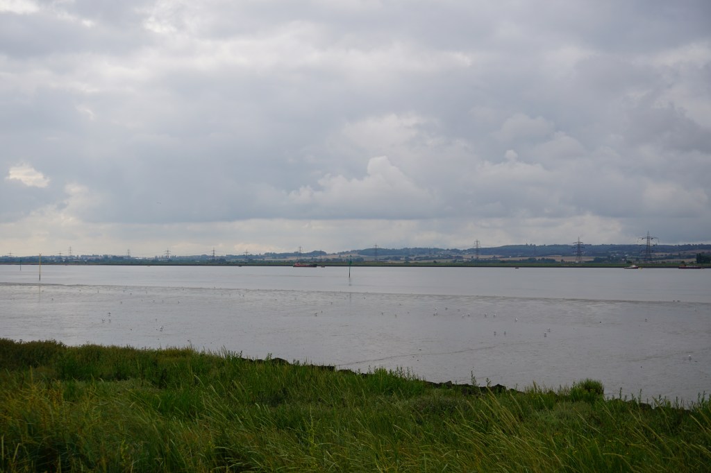
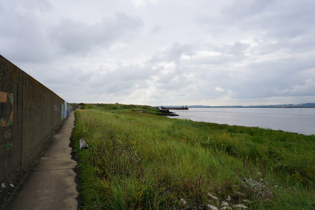
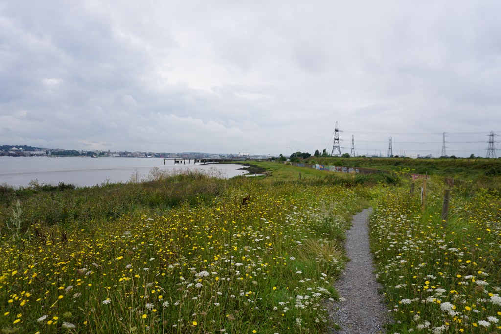
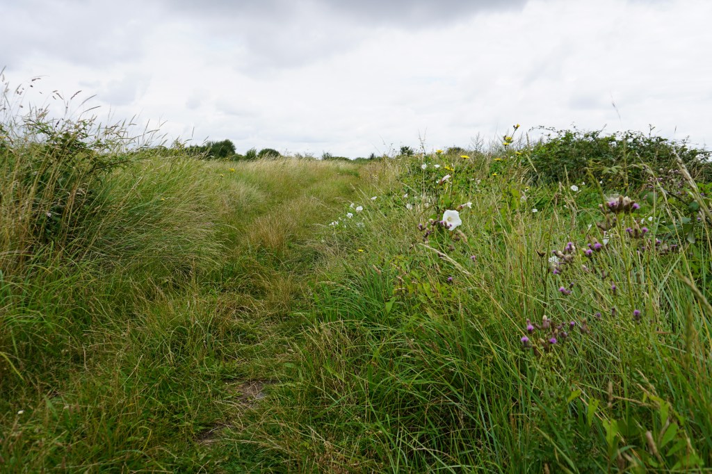
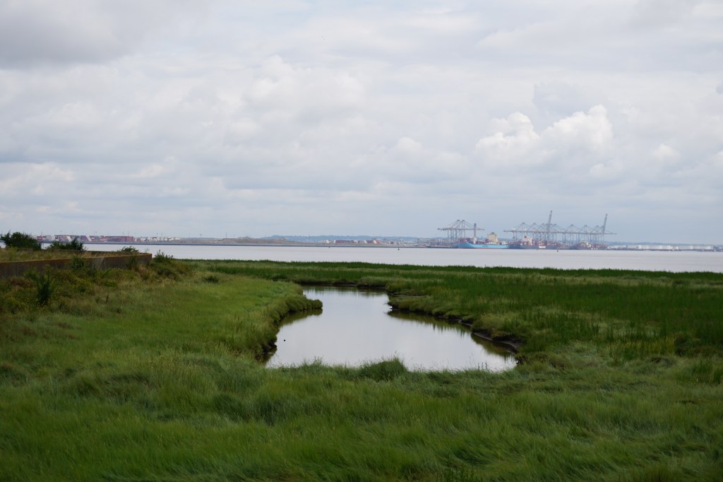
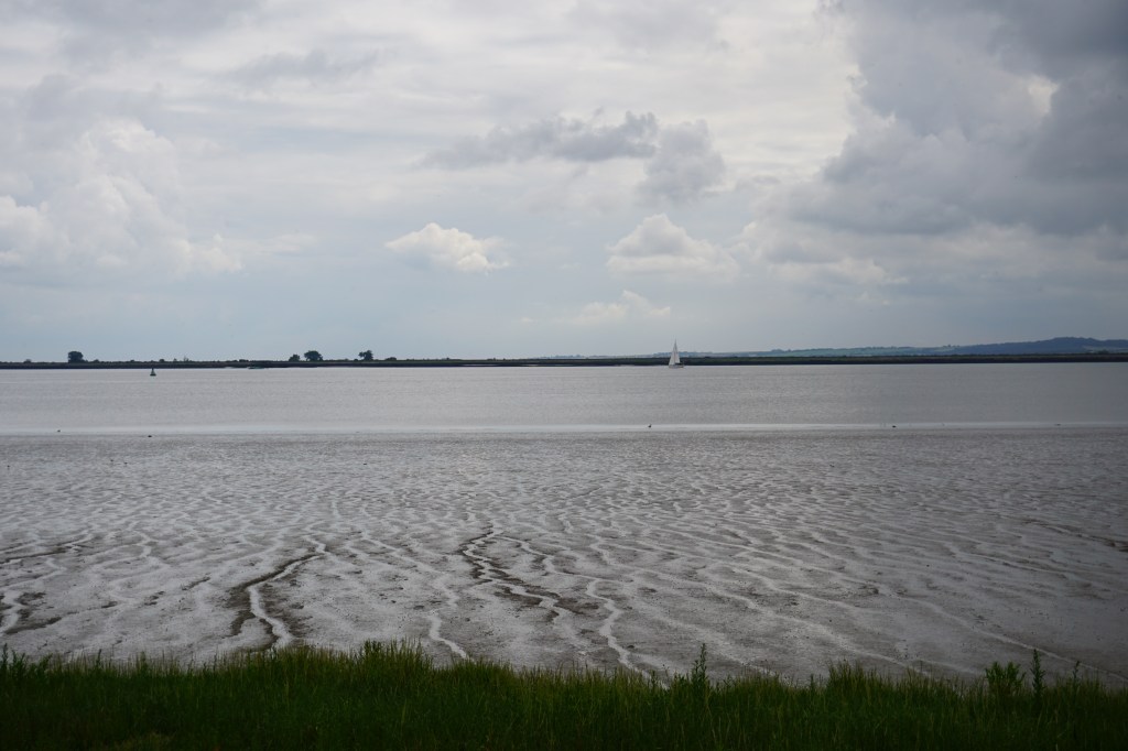
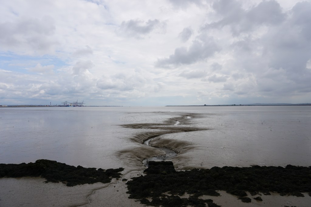
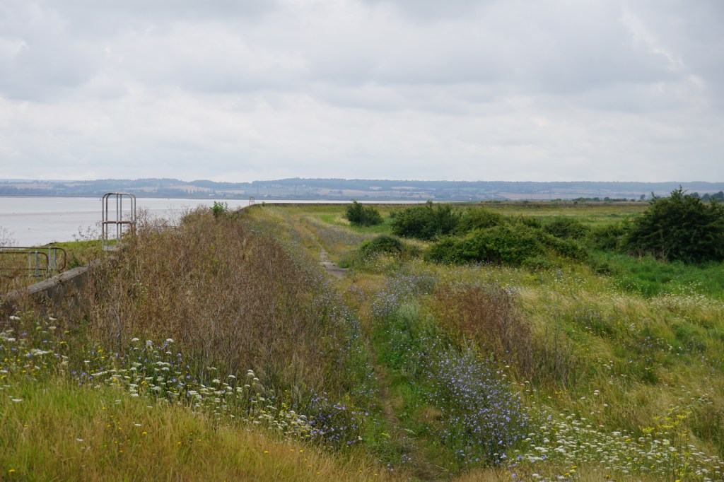
The first part of this walk is a little bleak, as leaving Tilbury Town means you have to pass the docks to get to the riverside. But once you reach the pub The Worlds End, you will walk along grassy fields with views over the Thames most of the time. The route passes Tilbury Fort, East Tilbury Radar Tower, Coalhouse Fort, and Mucking Marshes Landfill.
The official route does not include the Thameside Nature Park Visitor Centre, but I do recommend adding the diversion to get there and enjoy the views from the top of the building. If you do not want to include this in your walk, turn left at the parking and skip the loop into the Nature Reserve.
Add the map below to your Google Maps account (click on the star), download the GPX file via OpenStreetMap, or download the routes and route descriptions on the official trail website and let’s get outside!
